XePian Lower Dam Hydropower info by Hobo Maps- Go to Hydropower Projects Page - - Home
The Lower Xepian hydropower project is planned to be located near Ban HinLat (village), Sanamsai District of Sekong Province in southern Lao PDR. The project is about 40 km southwest of Attapeu town and about 80 km from Pakse District, Champasack Province.
In 2026 we aren't sure if construction has started as no activity is seen on these older satellite images.
The project coordinates are 14°44'56.0"N 106°27'04.0"E (14.748889, 106.451111) as seen in the satellite images below.
Lower Xepian HPP is on the Xepian (river) according to the developer but Google Maps shows that river as Vang Ngao. We aren't sure which is correct but suspect Google is wrong so best to ignore the Vang Ngao River labels on the satellite image below.

A concept image of what the dam may look like is below.

Normal reservoir water level is 102 meters above sea level while dead water level is 101 meters above sea level.
Installed capacity : 14.8 MW from two Francis turbine-generator sets with annual average energy output estimate of 60 GWh.
Total investment cost estimate : $ 34.6 million USD
Vientiane Automation and Solution Engineering (VASE) is involved with this project in the planning stages and in 2026 has info on their web page HERE.
Not sure who the developers and owners of the project are.
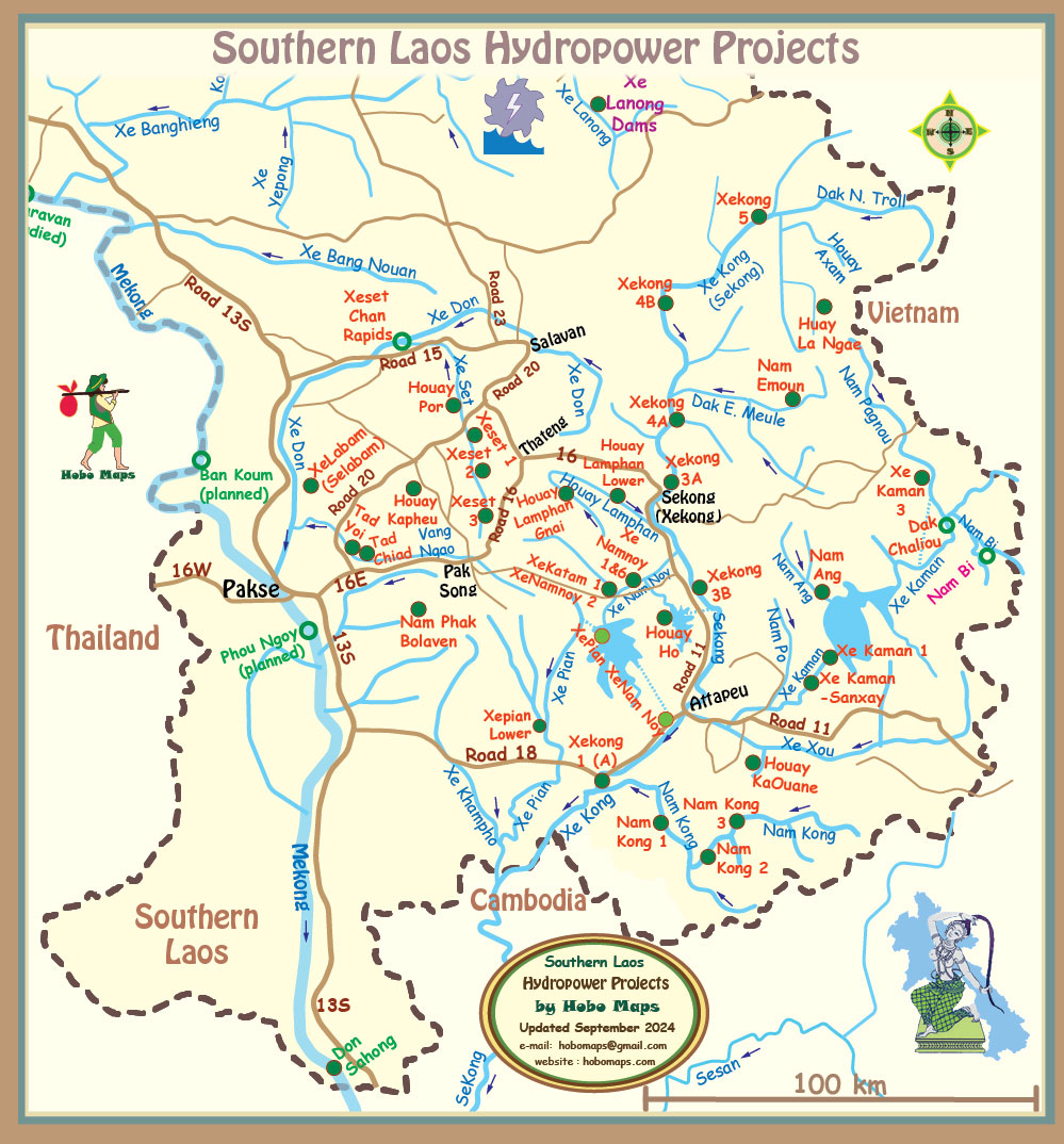
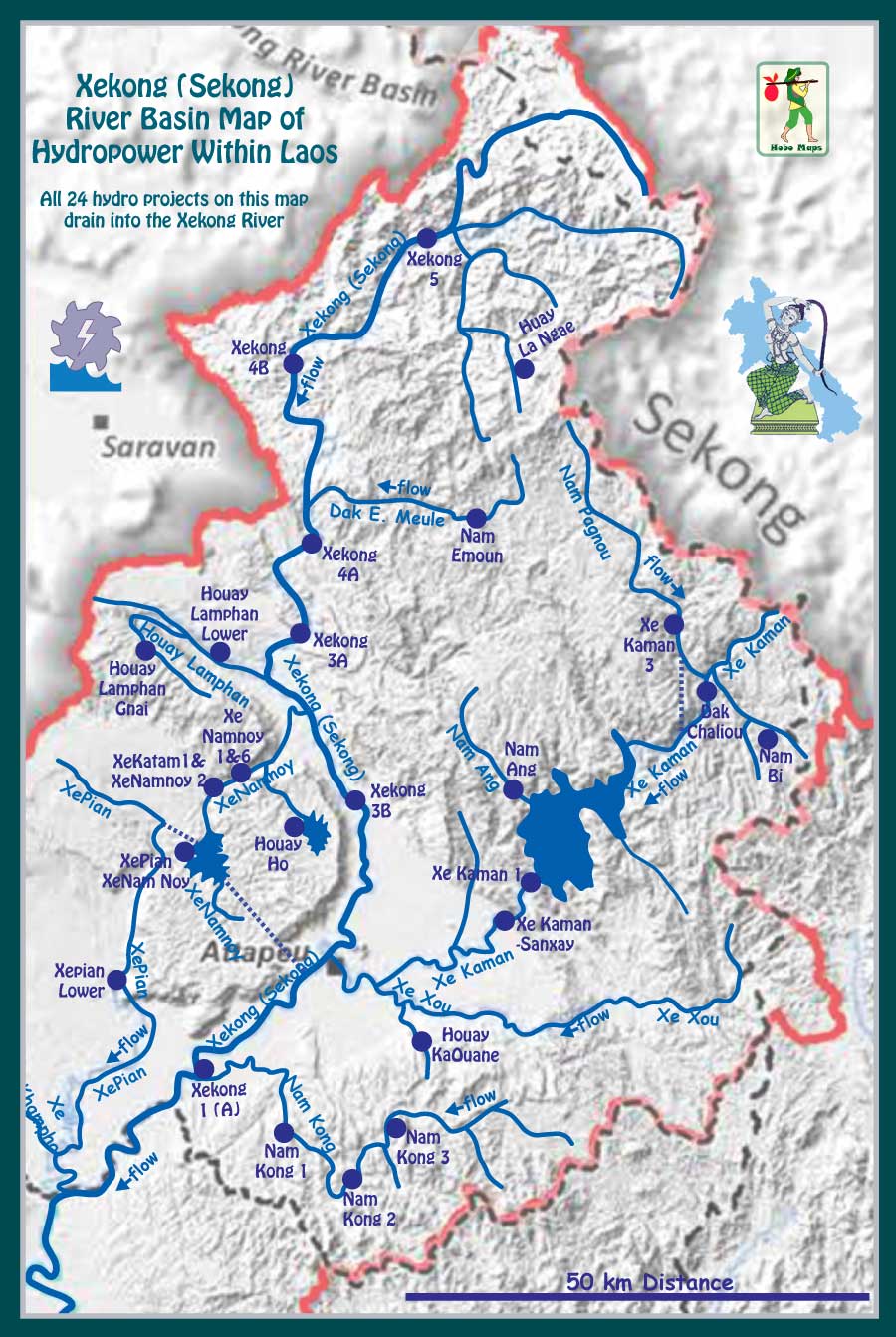
Xepian Lower hydropower project site is seen in central area of map below.