Houay Ho Dam Hydropower Info - by Hobo Maps - - Go to Hydropower Projects Page --- Home
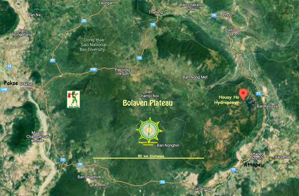
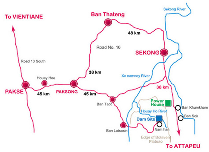
Houay Ho (Huay Ho) hydropower project is located in Samakhixay District, Attapeu Province, southern Lao PDR about 150 km east of Pakse and 35 km northwest of Attapeu town - as seen in satellite image below:

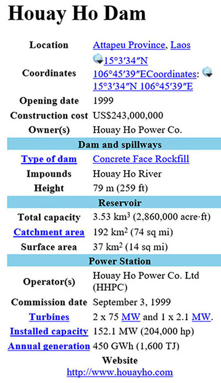
The project is a 'build-operate-transfer' hydropower project with installed capacity of 152.1 megawatts and ability to generate 450 GWh of output per year.
The Project was initiated by Daewoo Engineering and Construction from South Korea and Loxley PLC in an agreement with the Lao government in 1993 for a concession period of 30 years commencing from 1999 when commercial operations began.
Initial project construction cost was estimated at US$ 243 million. Some debt financing was raised from international private banks.
Houy Ho was the first hydropower project in Lao PDR to be developed by an Independent Power Producer (IPP).
In January 2002, Tractebel Electricity and Gas International and MCL purchased 80% of Daewoo’s and Loxely PLC’s shares. Tractabel then became a subsidiary of GDF Suez. Other ownership changes occured.
According to the project website in 2024 the project owner is Huay Ho Power Co., with shareholders - Glow Company Limited owning 67.25 percent, WHA Energy 2 Co., Ltd. holding 12.75 percent and EDL GEN holding 20 percent.
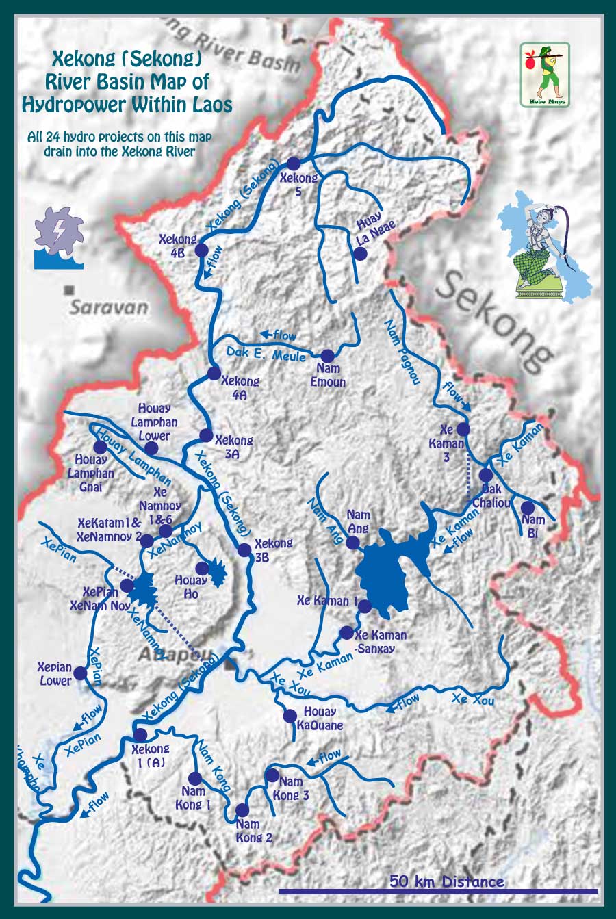
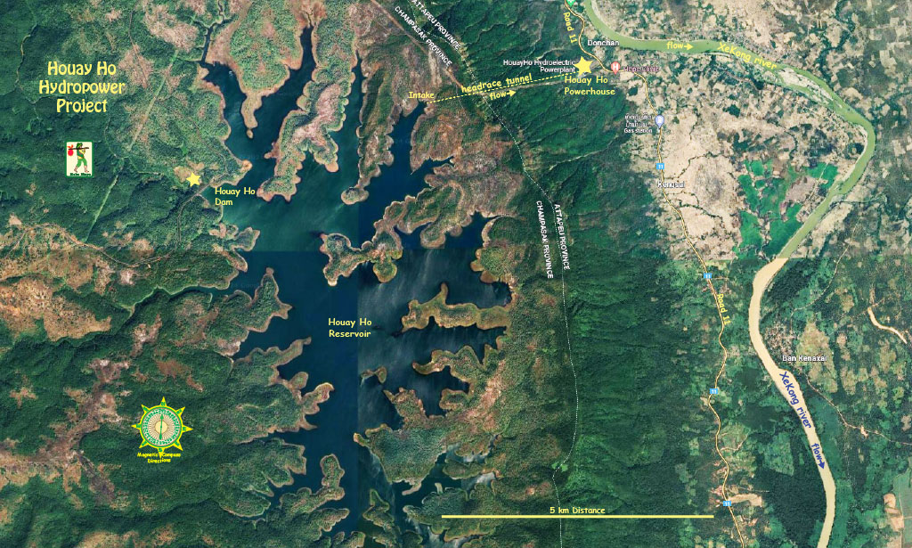
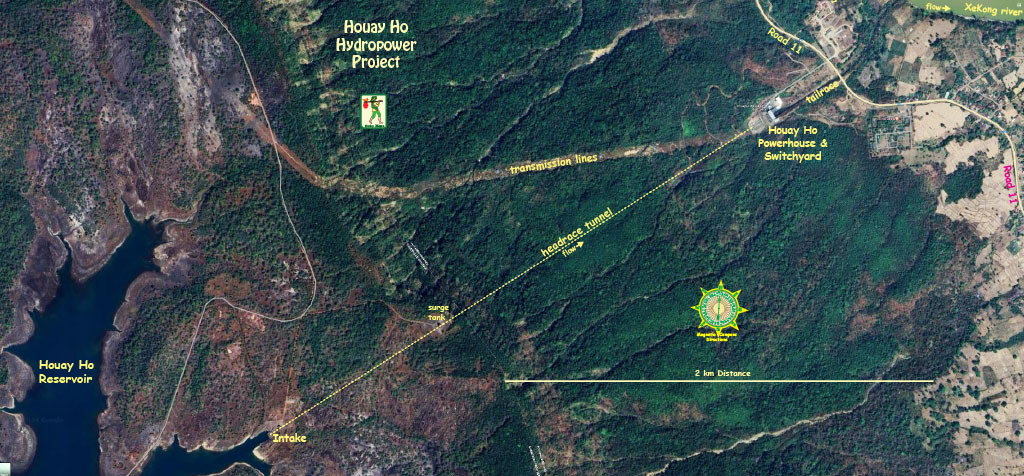
Houay Ho Hydropower Project satellite images below show where water is diverted from the Houay Ho River Basin to the Xekong River Basin.
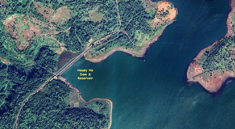
Houay Ho Dam Site is located at coordinates 15°03'32.0"N 106°45'52.2"E (15.058900, 106.764500) below:
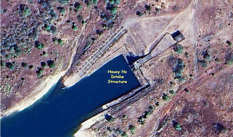
Intake structure satellite image below at coordinates - 15°03'54.0"N 106°48'24.6"E (15.065000, 106.806833):
Houay Ho Powerhouse in images below located at coordinates 15°04'39.7"N 106°49'46.2"E (15.077700, 106.829500):
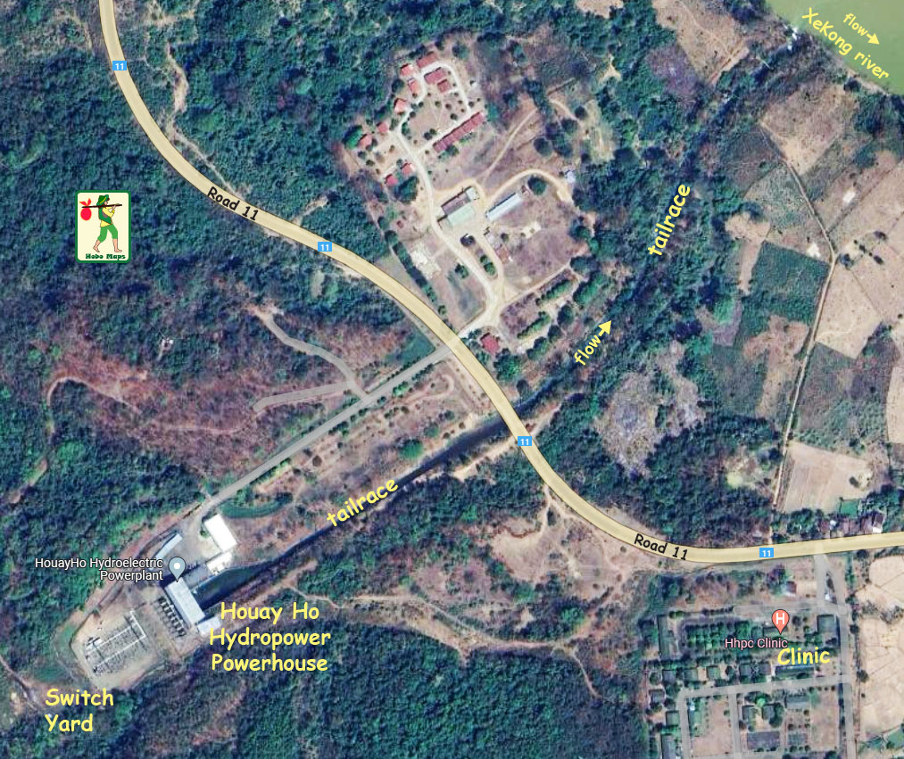
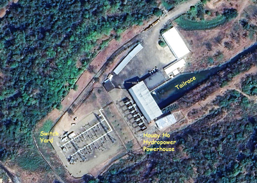
Houay Ho HPP is situated on the Bolaven Plateau in southern Lao PDR. The Plateau is an elevated area of about 5,000 square km that covers parts of Champasak, Saravan and Attapeu Provinces. The southern and eastern parts of the plateau rim form a very steep escarpment which changes elevation from about 500 to 1,200 meters above sea level over a short distance and is an excellent location for high-head hydropower projects.
Houay Ho Hydropower Project layout charts below:
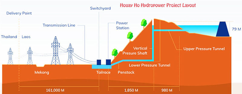
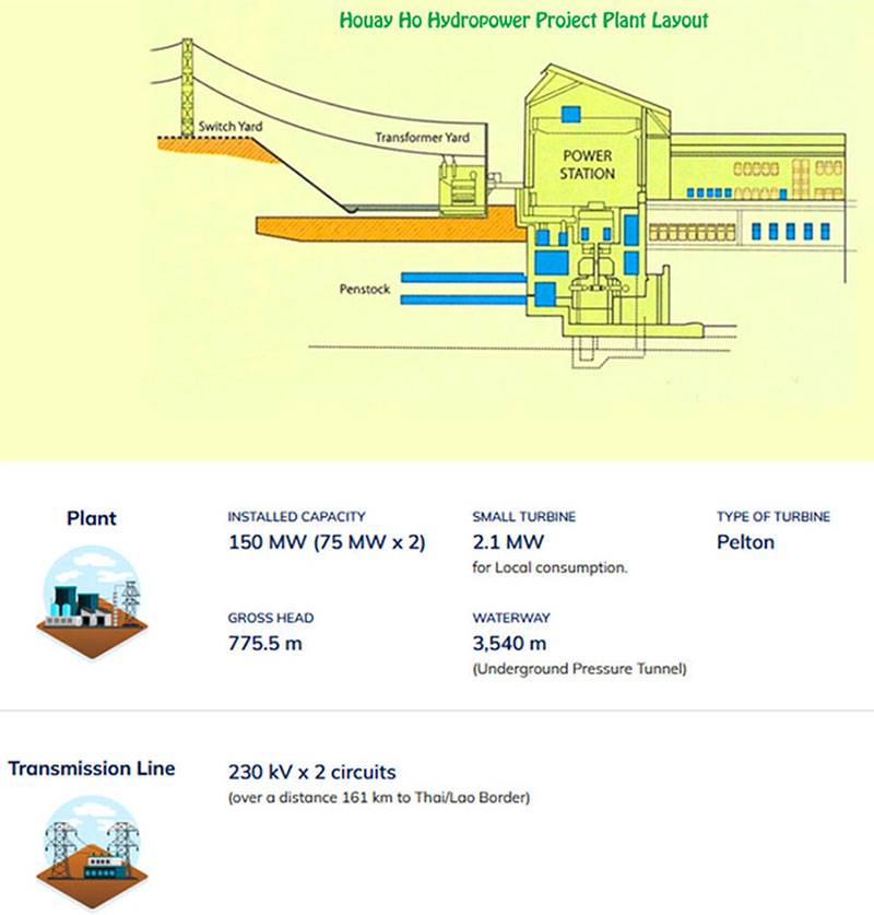
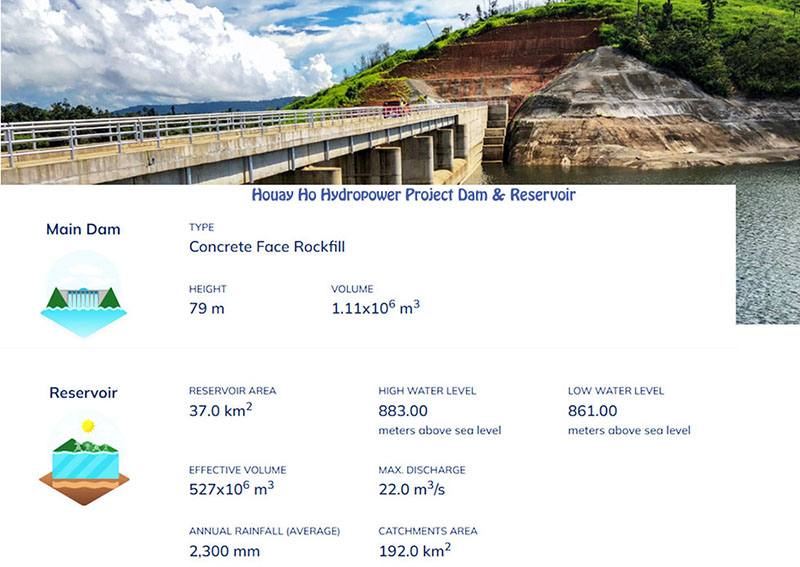
The transbasin project transfers water from the Houay Ho River basin to the Xe Kong River Basin to take advantage of the altitude difference (head) dropping off the rim of the Bolaven Plateau. The project has a reservoir surface area of 37 square km. The catchment area is 192 square kilometers.
Normal active reservoir surface level is estimated to be 867 meters above sea level. Total storage volume of reservoir is 527 million cubic meters with active volume of 400 million cubic meters. Gross head is 775.5 meters and median head is 748 meters.
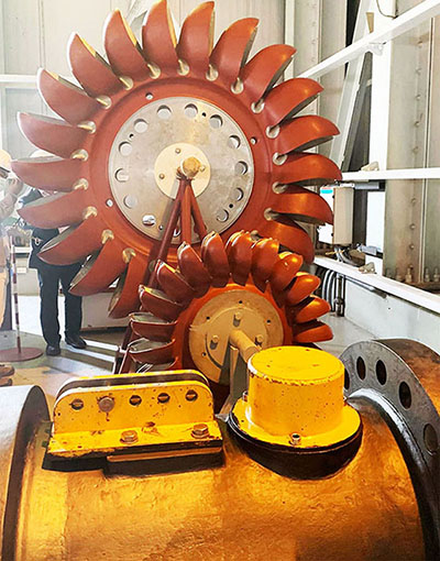
The powerhouse has two Francis turbines of 75 MW each and a single Pelton turbine of 2.1 MW for total capacity of 152.1 MW. The project is able to generate 450 GWh of output per year.
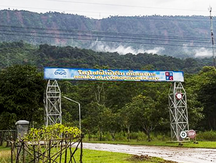
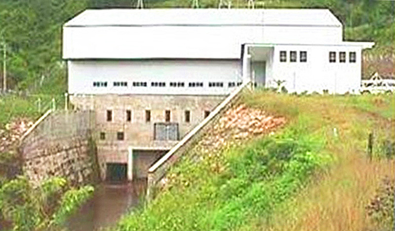
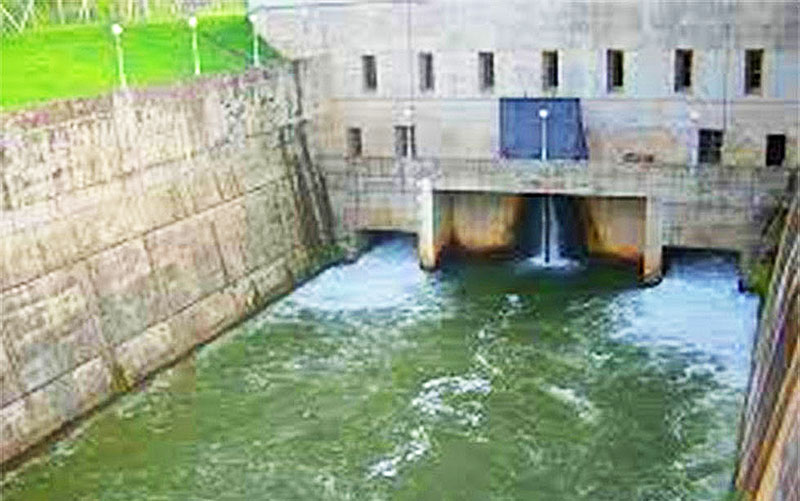
Houay Ho Powerhouse images below:
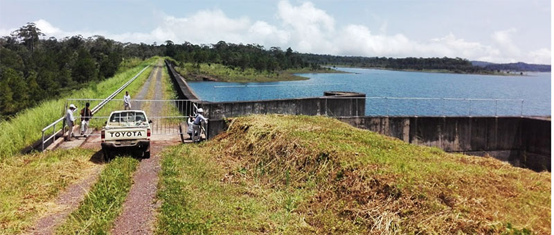
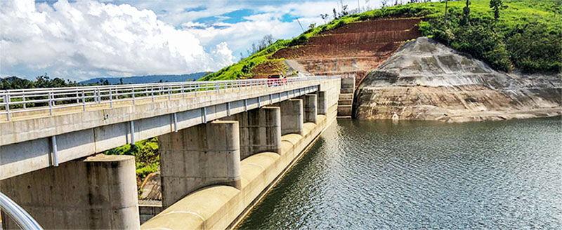
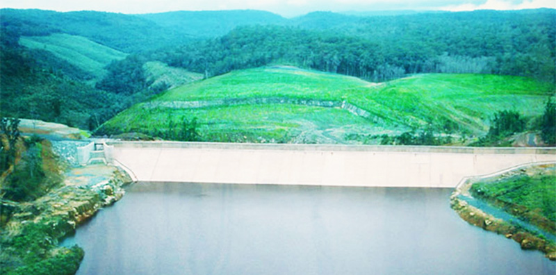
Houay Ho Dam images below:
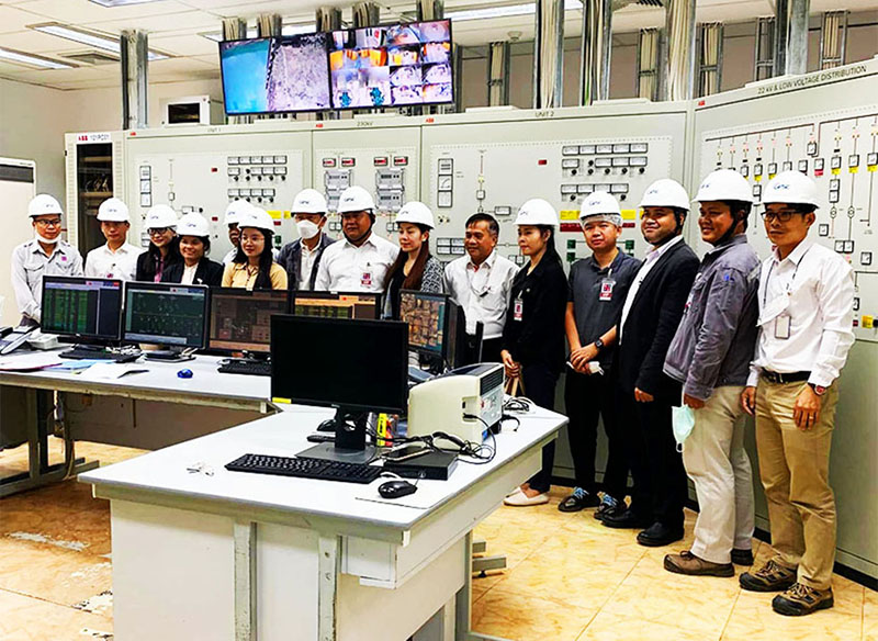
Houay Ho Powerhouse control room below:
Houay Ho Powerhouse apparatus room below:
The project involved resettlement and relocation of 12 Nya Heun villages into an area adjacent to Lavaen villages with some funds used for establishing coffee plantations on the Bolaven Plateau.
Houay Ho Hydropower project location in image below:
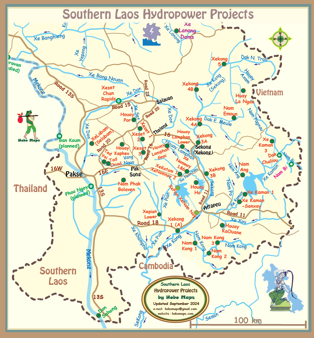
Houay Ho hydropower project is located in center of Southern Laos map below:
98% of the energy generated from the project is planned to be supplied to Electricity Generating Authority of Thailand (EGAT) in Thailand in accordance with a Take-or-Pay commitment for a period of 30 years. The remaining 2% goes to the EDL grid for distribution to adjacent local areas in Laos.
In June 1997 a Power Purchase Agreement (PPA) with EGAT was signed. Under the Agreement, Huay Ho Power Co. is to supply 126 MW per day or 394.2 GWh output per year to Thailand.
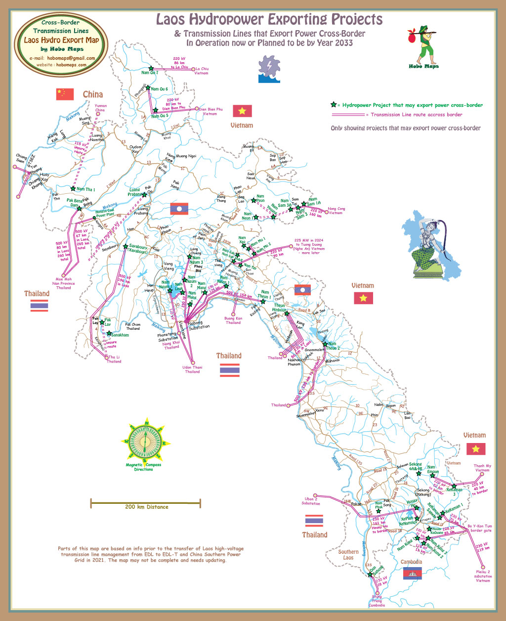
Map below shows route of 230 kV transmission line for export of power to Ubon 2 substation near Ubon Ratchathani Thailand. Clik HERE to see larger scale version of this map.
