Houay Lamphan Gnai Dam Hydropower project by Hobo Maps - Go to Hydropower Page --- Home
Also spelled as Huay Lamphan Yai
Houay Lamphan Gnai (HLG) hydropower Plant is located in Kafe Village, Thataeng district, Sekong province about 10 km from the power house site. The Dam is located in Thongvide Village, Thataeng district, Sekong province, Lao PDR.
Houay Lamphan Gnai is pronounced as "Houay Lampan Nyai".
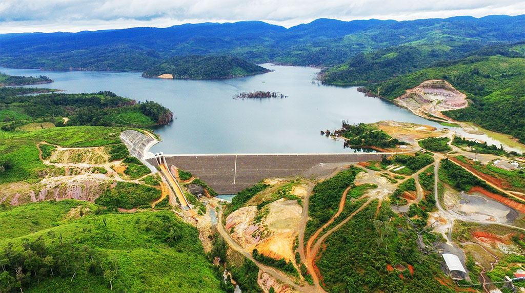
Houay Lamphan Gnai Dam images below:

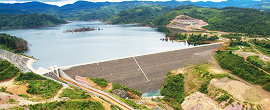
The project is located near the Houay Lamphan (river) on the Bolaven Plateau. Water drops from the northern rim of the plateau about 600 meters to the powerhouse site below. The Lao government-owned hydropower plant officially started commercial operations in November 2015.
EDL invested about US$ 206 million into the hydro-power project with a US$ 199 million loan from China’s Exim Bank.
The project EPC contractor was China Gezhouba Group Company Limited. EDL GEN has taken over 100% ownership and management of the project.
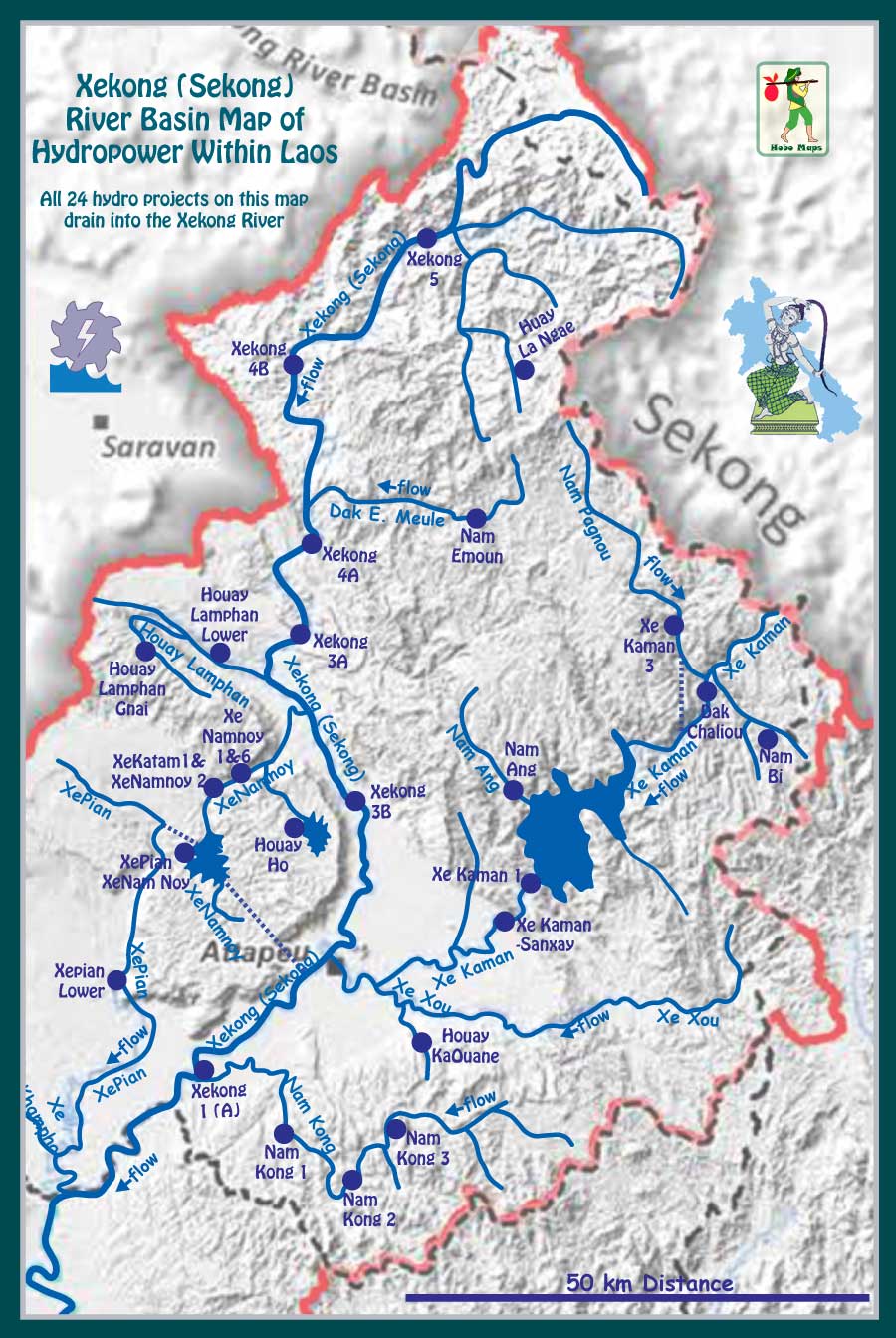
Houay Lamphan Gnai and Houay Lamphan Lower hydropower projects satellite image map below. These two projects are not related. See our other web page for Houay Lamphan Lower .
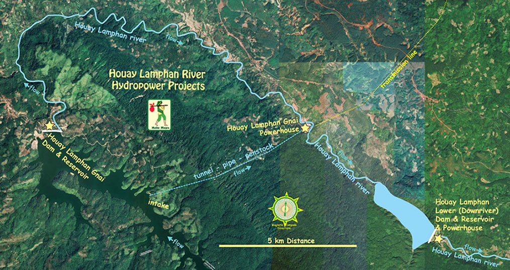
Houay Lamphan Gnai hydropower project satellite images below with the dam structure at coordinates 15°21'21.2"N 106°29'51.4"E (15.355900, 106.497600):
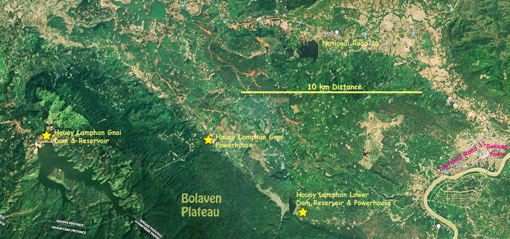
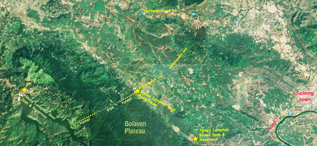
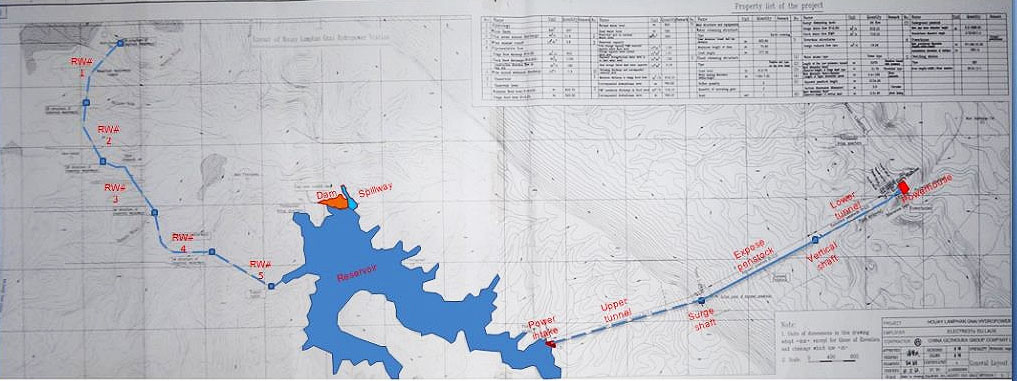
The main project components consist of a Roller-Compacted Concrete dam, intake headrace, surge tank, vertical shaft, low pressure tunnel, powerhouse, switchyard, electro-mechanical equipment, transmission line, substation and tributaries diversion.
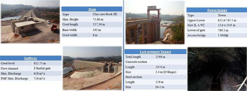
The concrete dam is 79 meters high and 565 meters long. The rock-filled dam structure is 41 meters high and 65 meters long with a spillway 322 meters long.
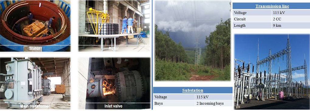
The power plant has 2 impulse turbine-generator units of 44 MW each for 88 MW total capacity. Average annual generation capacity is reported to be 480 GWh (seems a bit too high) to be supplied to Champassak, Sekong, Attapeu and Saravanh provinces via the Southern Power grid.
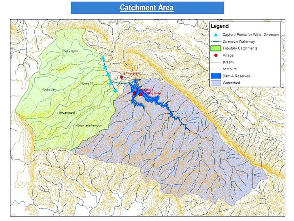
The project catchment area is 237 square kilometers.
The reservoir surface area is seven square kilometers. The reservoir surface at full supply level is 828 meters above mean sea level and 795 meters at minimum supply level. Maximum reservoir capacity is 141 million cubic meters with effective active capacity of 122 million cubic meters.
The project head is derived from a vertical drop of 612 meters between the top and bottom of the Bolaven Plateau escarpment.
Houay Lamphan Gnai Powerhouse site images below:
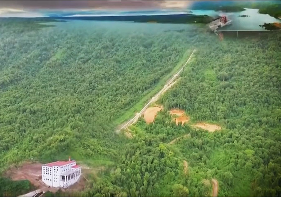
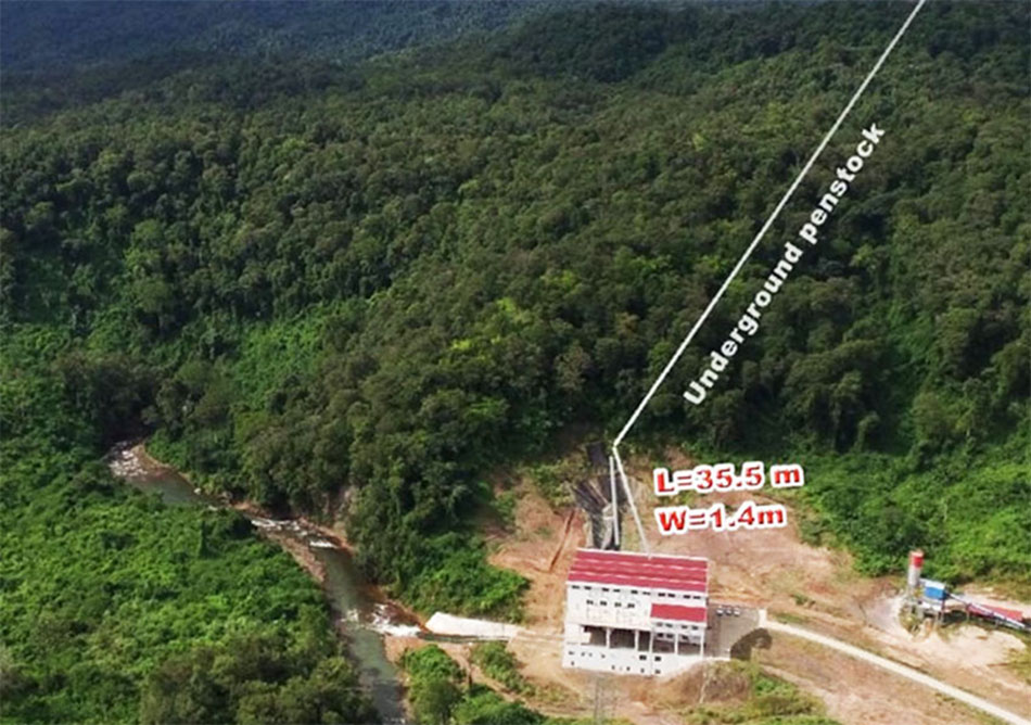
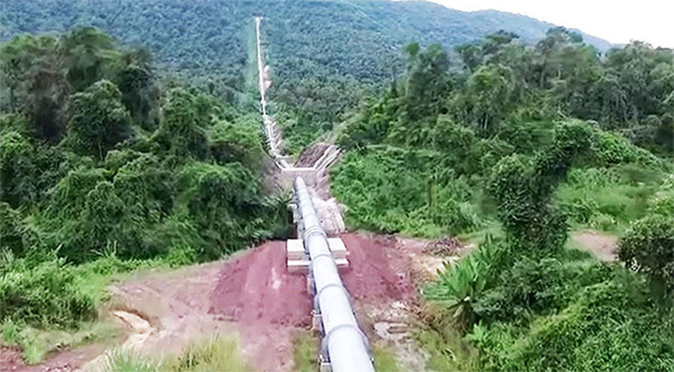
The penstock shown below is 2,134 meters long while the above ground penstock section is 1.8 to 1.55 meters inner diameter and 121 meters long.
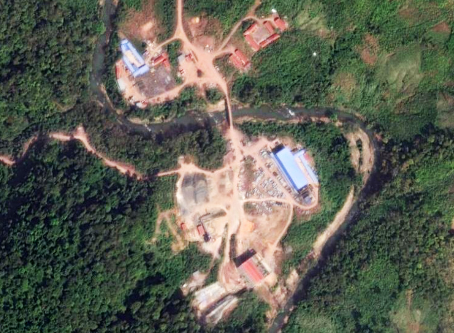
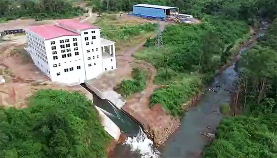
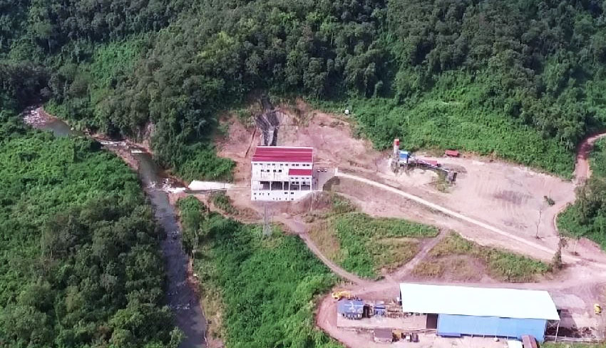
Houay Lamphan Gnai Powerhouse site images below at coordinates 15°21'32.0"N 106°35'08.2"E (15.358900, 106.585600):
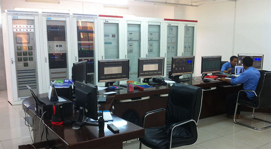
Houay Lamphan Gnai control room images below:
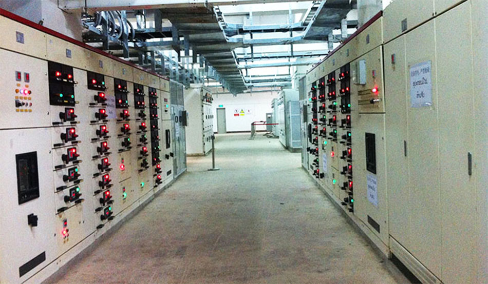
The transmission line from the switchyard beside the powerhouse to the Sekong Substation is 115 kV and double circuit. One circuit is planned to connect the Salavan Substation via the Sekong Substation.
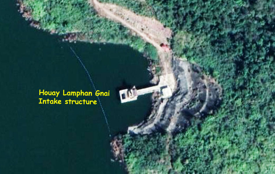
The intake structure located on the reservoir is about 4 km from the dam structure as shown below at coordinates 15°20'04.9"N 106°31'52.3"E (15.334700, 106.531200).
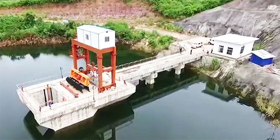
The headrace tunnel has an inner diameter of 2.8 meters and is 2,831 meters long.
The low pressure tunnel is 2.8 meters inner diameter and 850 meters long.
The embedded steel liner section has 1.8 meter inner diameter and is 3,591 meters long.
The surge tower is 7.8 meters high with a 3.4 meter diameter.
Houay Lamphan Gnai images and statistics below:
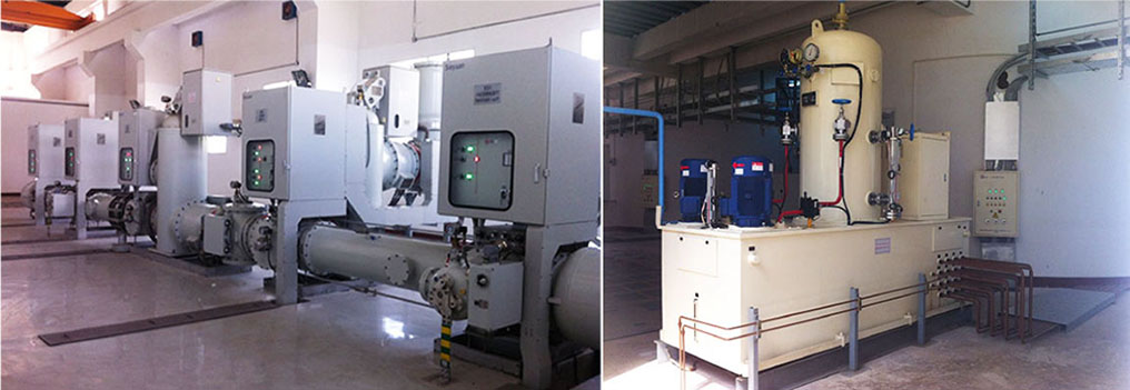
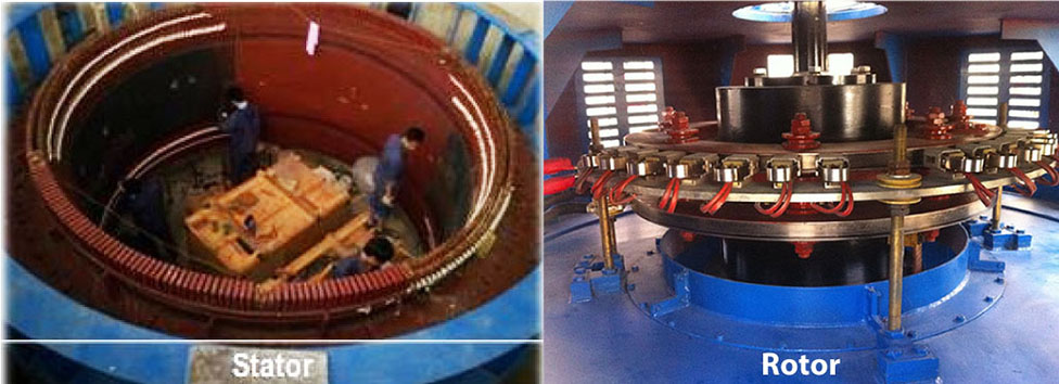
Houay Lamphan Gnai apparatus images below:

EDL-GEN video of Houay Lamphan Gnai hydropower project in English HERE .
The project involved relocation of 1,375 local people to a new resettlement village about 15 km away from their original village.
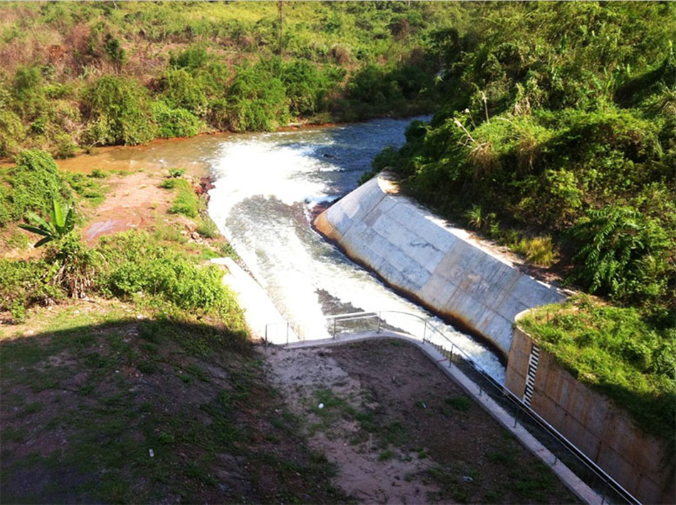
Houay Lamphan Gnai discharge channel below:
Houay Lamphan Gnai hydropower project layout drawings below:
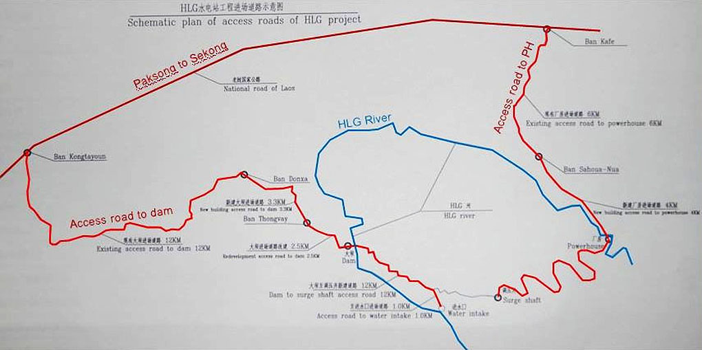
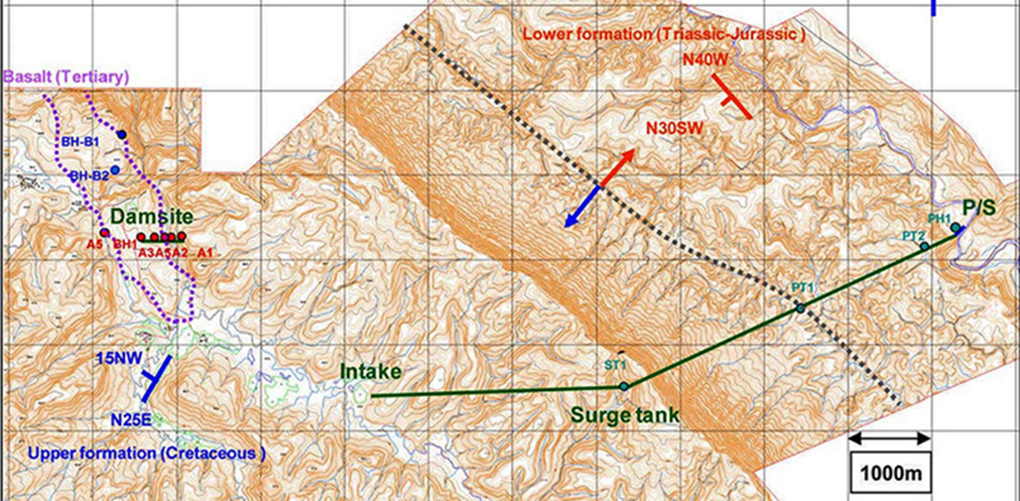
Layout of Houay Lamphan Gnai hydropower project shown in image below - P/S = Power Station
Houay Lamphan Gnai power plant image below - located at coordinates 15°21'32.0"N 106°35'08.2"E (15.358900, 106.585600):
Houay Lamphan Gnai camp images below:

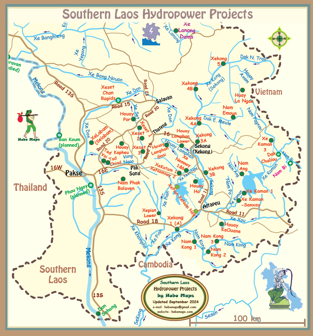
Houay Lamphan Gnai Dam location at middle of Southern Laos map below:
The Project catchment area is 140 square kilometers.
