Nam Ang Dam Hydropower Info by Hobo Maps - Go to Hydropower Projects Page - - Home
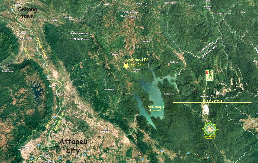
Nam Ang Dam hydropower project is located near Nam Ngone Village, Xansay District, Attapeu Province in the south of Lao PDR.
The project location seen in satellite image below with dam site about 50 km southeast of Sekong town.
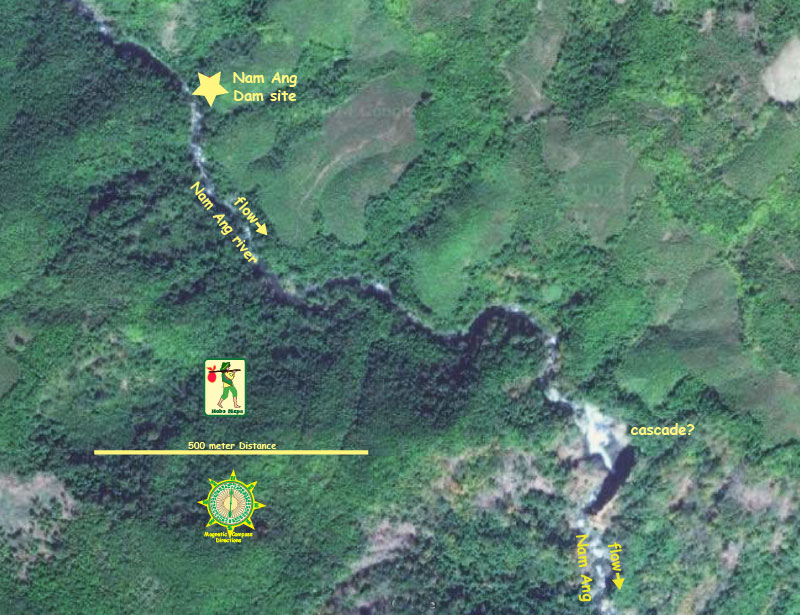
Nam Ang dam site area image below at coordinates - 15°07'13.9"N 107°06'40.1"E (15.120531, 107.111146)
The project is developed and 100% owned by Chaleun Sekong Energy Co. Ltd., also known as CS Energy or CSE.
The project may still be in the planning phase in 2026.
Nam Ang is a run-of-river project with a small reservoir capacity. The Nam Ang river is a tributary to the nearby Xekaman 1 reservoir.
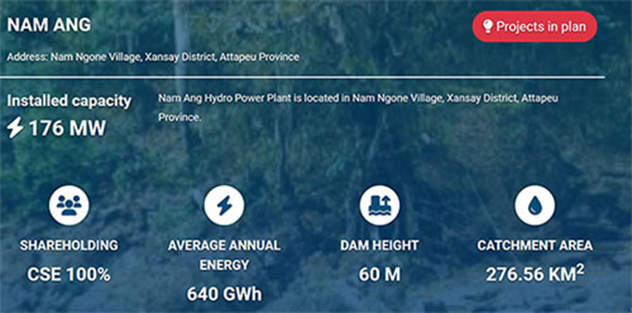
The project was originally planned to be 55 MW capacity but now has been increased to 163 MW with expectation to generate 640 GWh of output annually.
The power generated from the project is planned to be sold to Electricite du Laos (EDL) under a power purchase agreement and be transmitted 25 km along a 115 kV transmission line to Xekaman Sanxay substation.
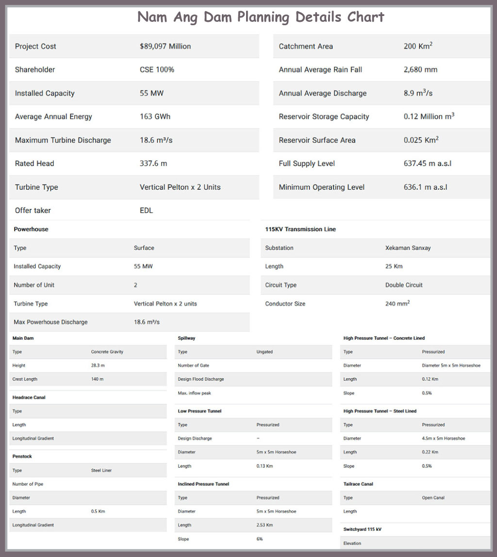
The net head of the project was originally 337.6 meters and the penstock length was to be 500 meters.
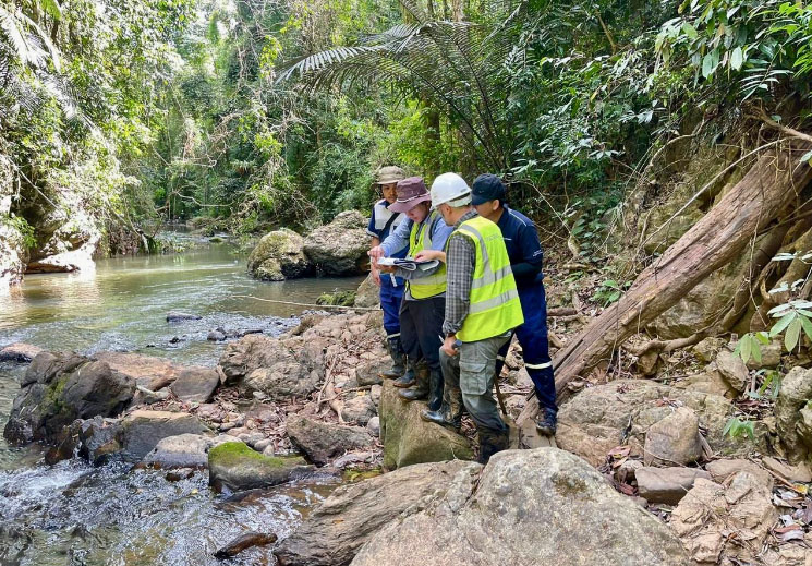
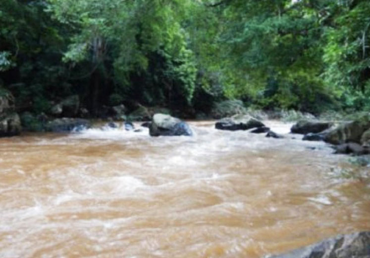
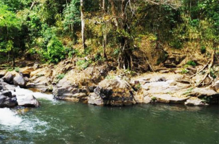
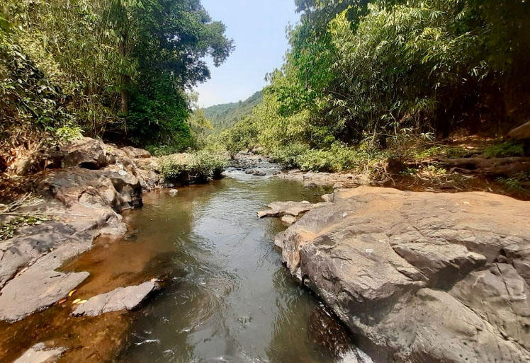
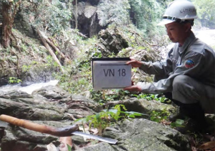
Nam Ang HPP preliminary site visit images below:

Info in image below is from CS Energy website September 2026.
Project planning details chart below copied from CS Energy website Dec. 2023 (no longer on their website in 2026). These details may no longer be valid since the project has apparently been enlarged from 55 MW to 163 MW capacity and dam height raised from 28.3 meters to 60 meters.
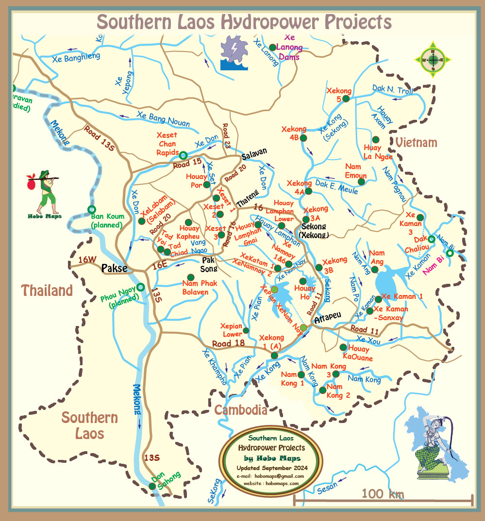
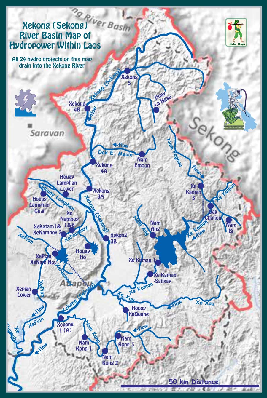
Nam Ang Dam project location is seen on right side of map below.