Nam Hao Dam Hydropower Info by Hobo Maps - Go to Hydropower Projects Page - - - HOME
Also called the Nam Haw Dam hydropower project by some older sources.
Very little info about this project on the web and most info below is from a single source that needs to be verified and updated.
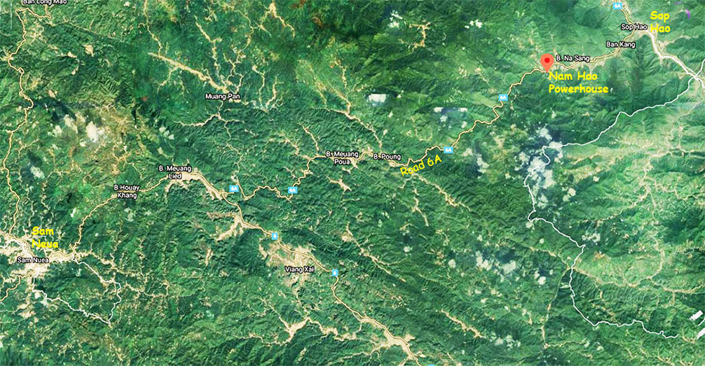
Nam Hao Dam hydropower project is located on the Nam Hao (river) in Sop Bao District, Houaphan Province, Lao PDR, not far southwest of the Lao-Vietnam border checkpoint at Sop Hao town.
The Nam Hao (river) flows along National Road 6A in a northeasterly direction until it reaches the Vietnam border at Sop Hao where it joins the Nam Ma (river) at the border with Vietnam.

The project is a Run-Of-River type with 23 MW capacity.
The project developer is probably Laos-based DDC Sole Company Ltd. (DuangChaleurn Group Construction Development Co., Ltd. ).

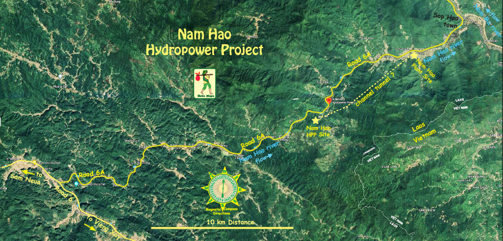
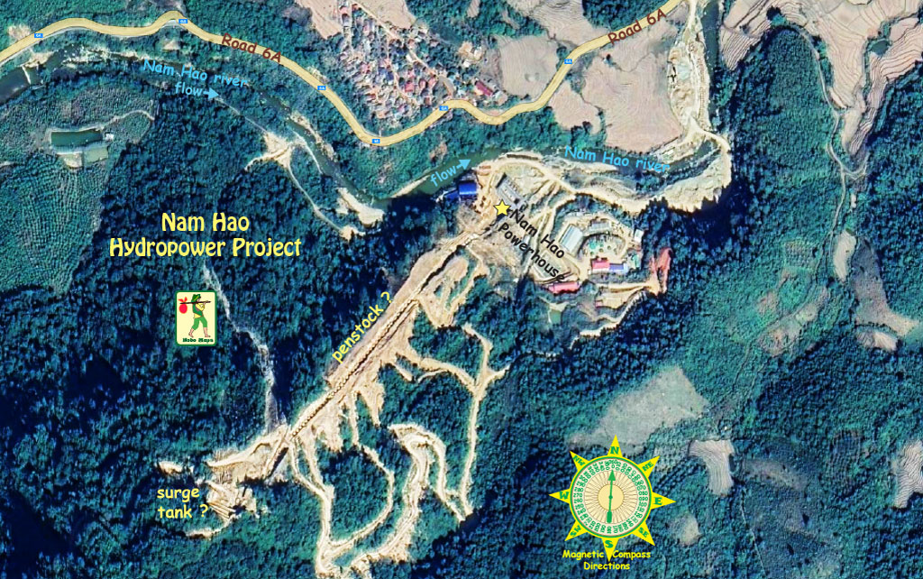
Our map below shows estimated locations for Nam Hao hydropower sites below with the dam site at coordinates - 20°30'22.5"N 104°21'28.1"E (20.506235, 104.357793).
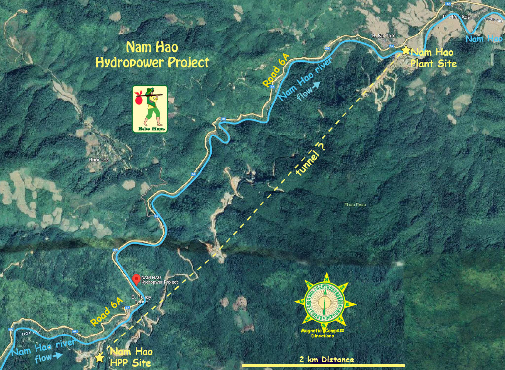
The powerhouse Plant location below at coordinates - 20°32'02.4"N 104°23'18.9"E (20.533987, 104.388582).
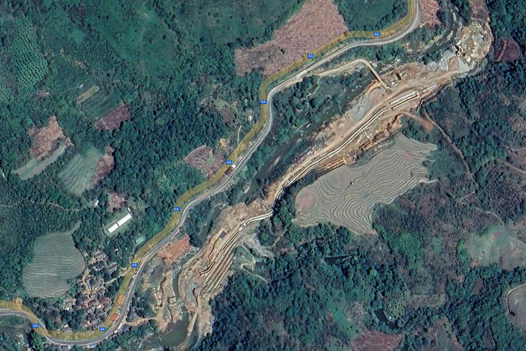
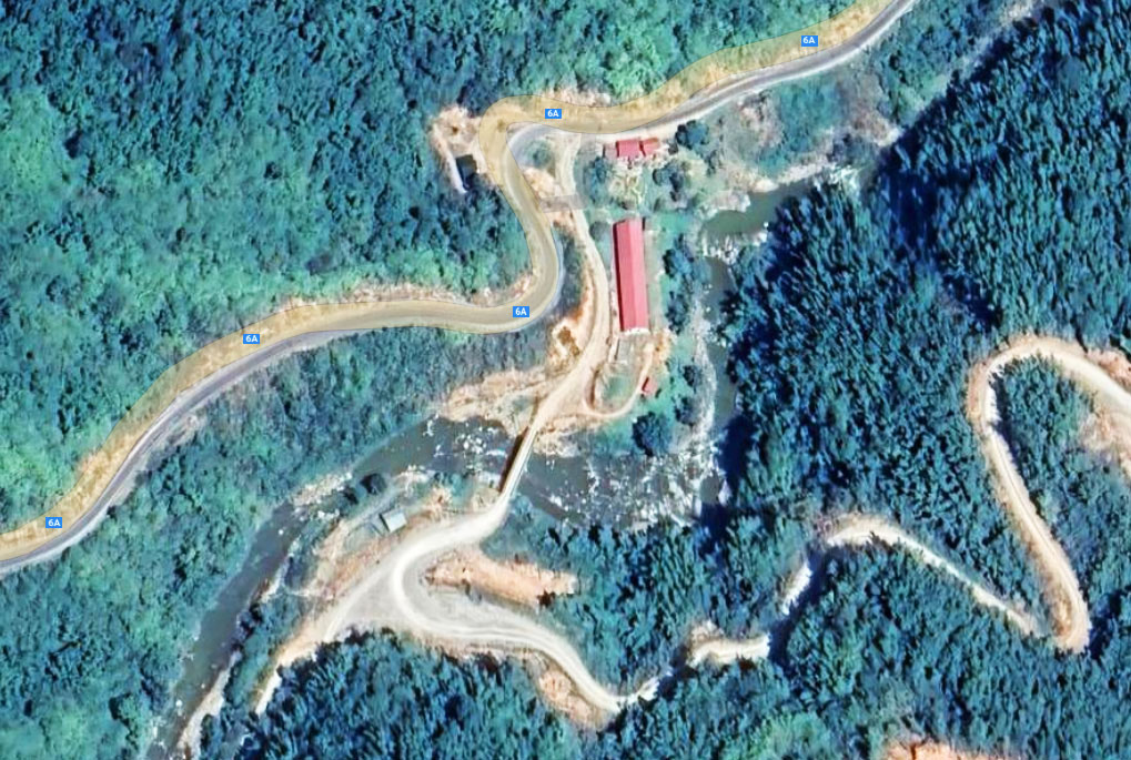
Satellite image below shows a bridge across the Nam Hao river which we think may be close to the dam site. We can maybe see a section of the 12 km-long water channel (or tunnel) used to carry water from the upriver dam down and north to the powerhouse.
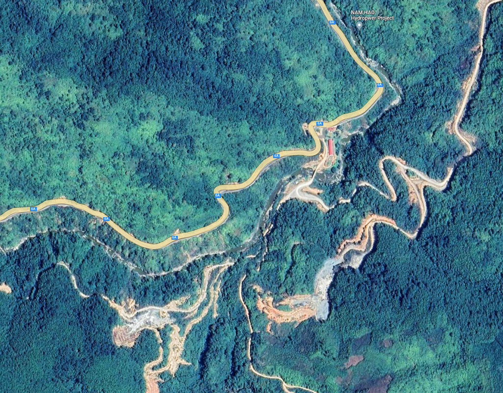
More construction activity further downriver shown in satellite images below at coordinates 20°30'17.6"N 104°21'22.2"E (20.504890, 104.356164).
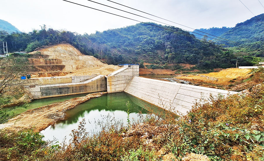
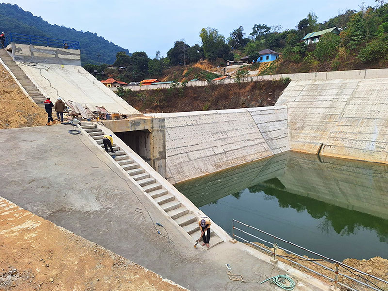
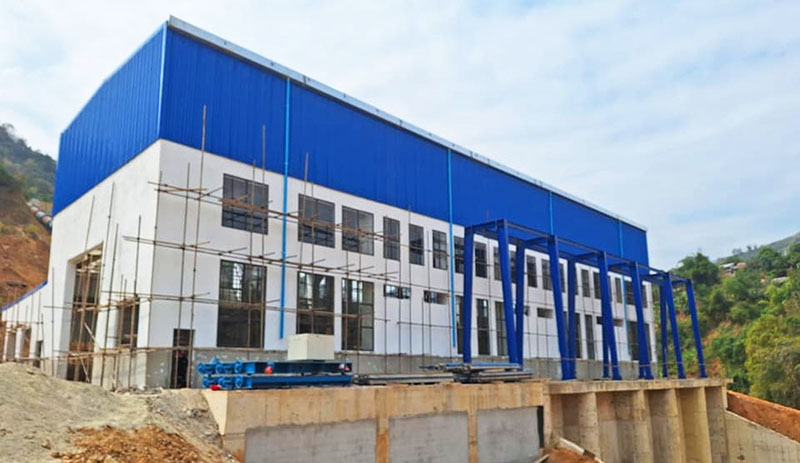
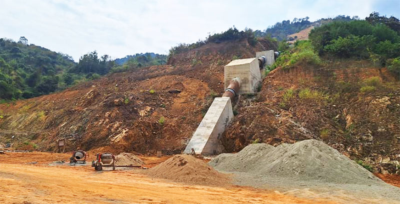
A poorly translated version of a Lao language Facebook article Feb. 2024 describes the Nam Hao project as "Namhao dam is installing 22.5 Mw as a project with a complete structure of Yota engineering: reservoir dam, water supply, sand basin and pressure increase, pressure vortex, chiffon pipe, respirator pipe and engine house."
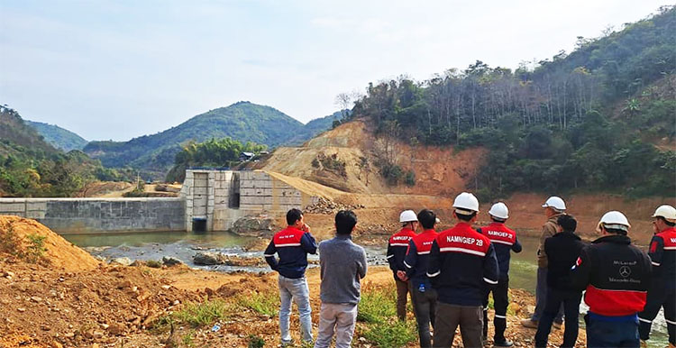
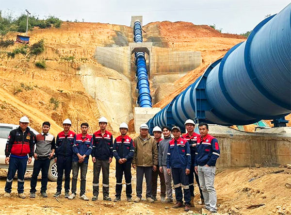
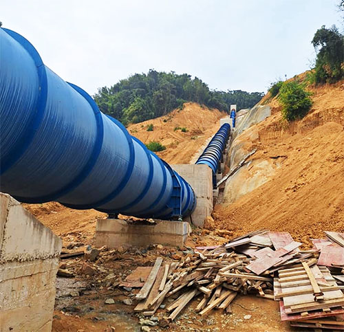
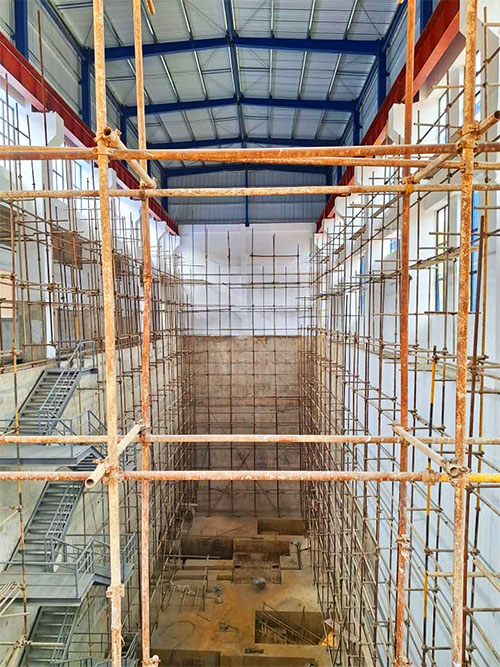
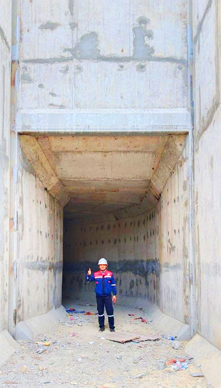
Nam Hao Dam construction images below from Feb. 2024 Facebook posting by Nonghai Group.
