Nam Houng 1 Dam (Nam Hung 1 or Nam Houang 1) Hydropower by Hobo Maps - Go to Hydropower Projects Page - - - HOME
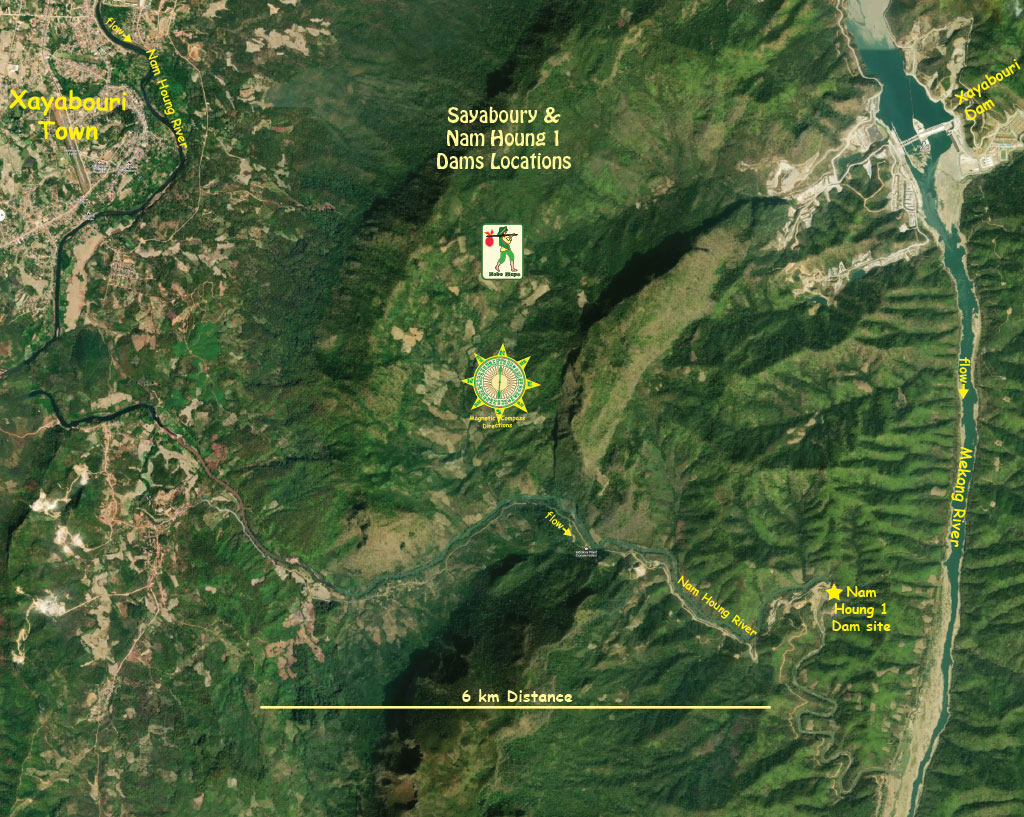
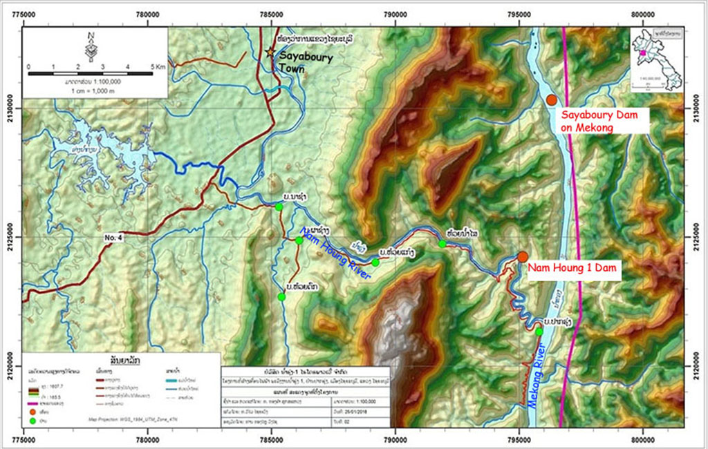
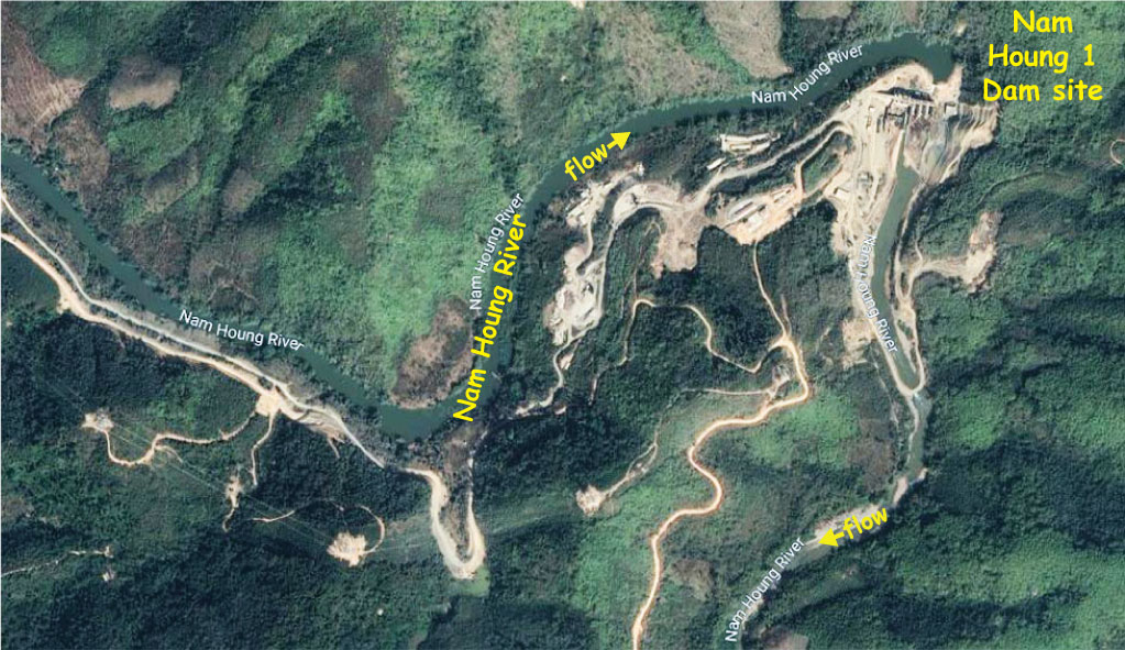
Nam Houng 1 Dam Power Company is developing the project on the Nam Houng (river) in Sayaboury (Xainabouri / Xayaboury) Province, Lao PDR. The project is about 12 km southeast of Sayaboury town and upriver from where the Nam Houng joins the Mekong River.
Nam Houng is the main river that passes through the provincial capital of Xayaboury.
Location of Nam Houng 1 Dam project shown in satellite images below at coordinates 19°11'19.7"N 101°48'17.8"E (19.188811, 101.804944).

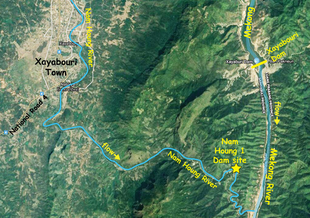
Nam Houng 1 Dam location below:
In March 2015, Simeuang Group Company Limited (Simeuang Sole Power Company Limited), project owner of the Nam Houng 1 hydropower plant, signed a construction agreement with three Korean contractors to build the plant. The three are Dowoo Engineering JV, Phunglin Industry Co. and Dowoo Construction and Engineering Co.. The contract covered the full scope of the civil works at the hydropower plant at a cost of US $16.9 million.
Maybank Lao Branch, Joint Development Bank (JDB) and Lao-based Simuong Group (SMG) each signed agreements in 2015 to provide construction funds to Nam Houng Hydropower Company Limited.
The plant will have 15 MW installed capacity and be able to produce 57 GWh output per year. The project expects to sell all power generated to Electricite du Laos (EDL) for supply to the national grid.
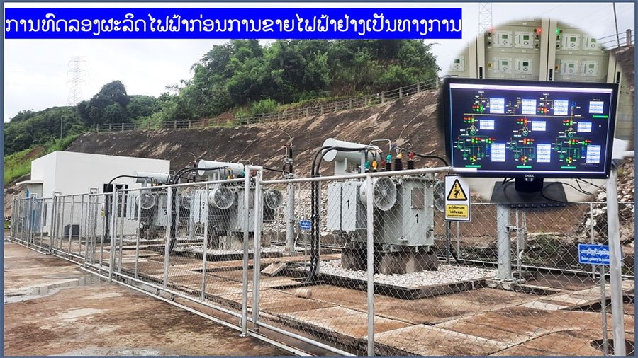
Construction on the U.S. $34 million, 15-megawatt Nam Houng 1 Dam project began in 2017 but was delayed for a year due to the discovery of substandard work on the project. Construction resumed in 2018 and in July 2023 it was reported that construction was 100% complete and undergoing testing of systems for full start of commercial production soon.
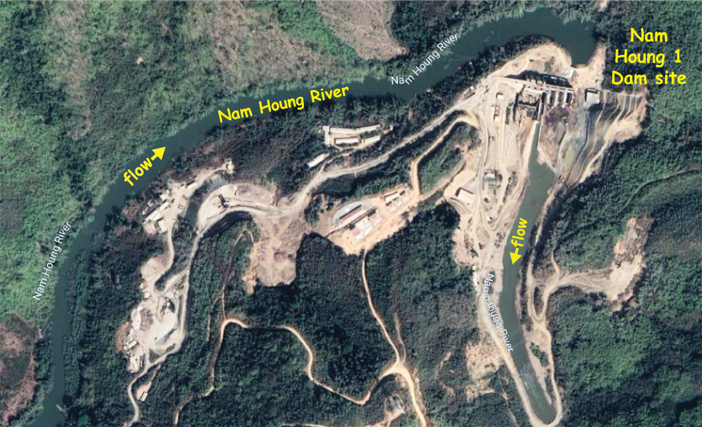
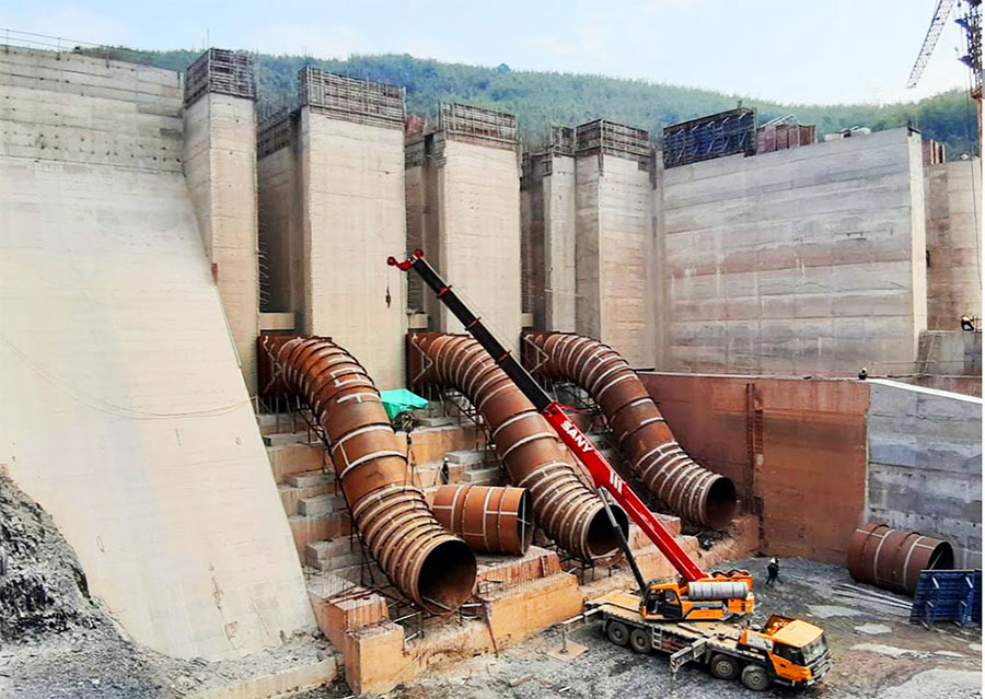
Nam Houng 1 Dam site shown below during construction.
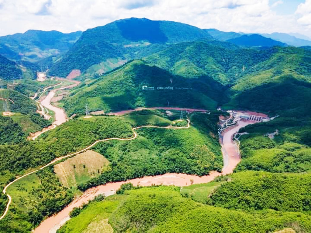
Nam Houng 1 Dam images below taken July 2023 courtesy of Phetsamone Phaxay's Facebook page.
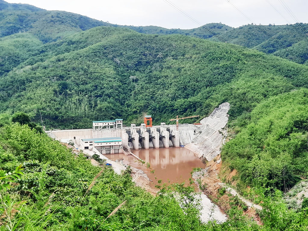
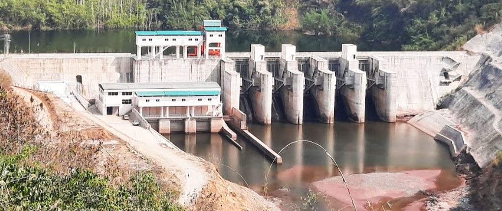
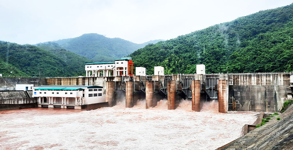
Images below show Nam Houng 1 Dam close up from both sides.
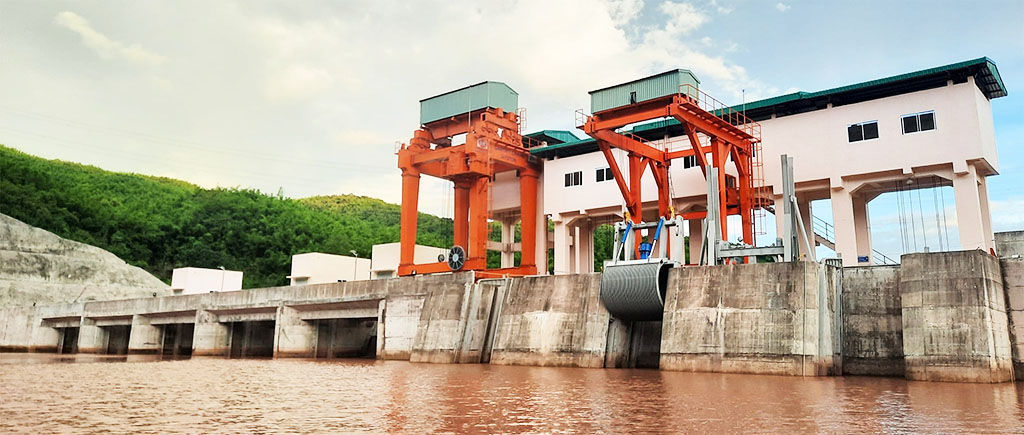
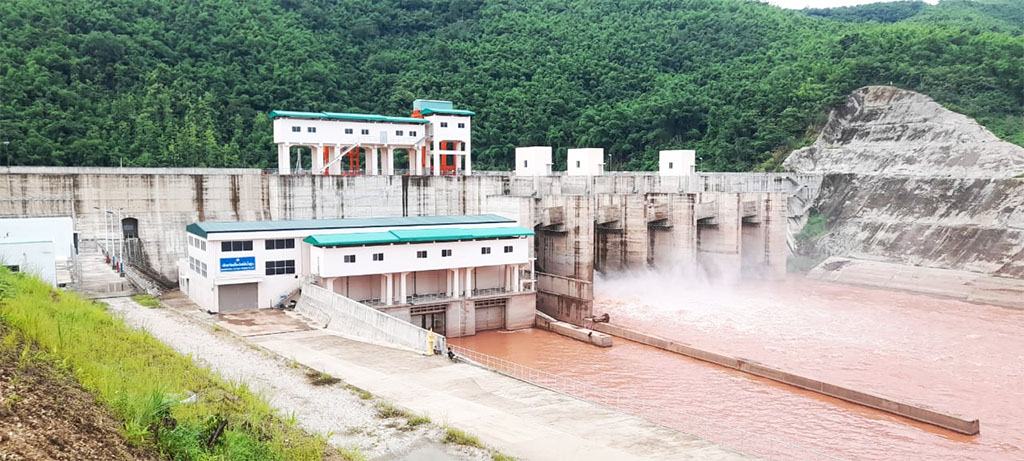
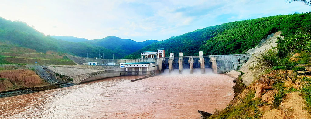
Images below show Nam Houng 1 project during construction.
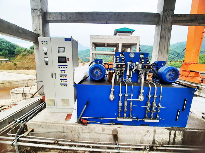
Nam Houng 1 project interior images below.
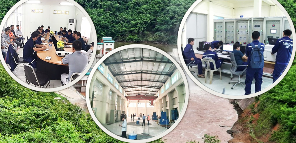
Control room image below:
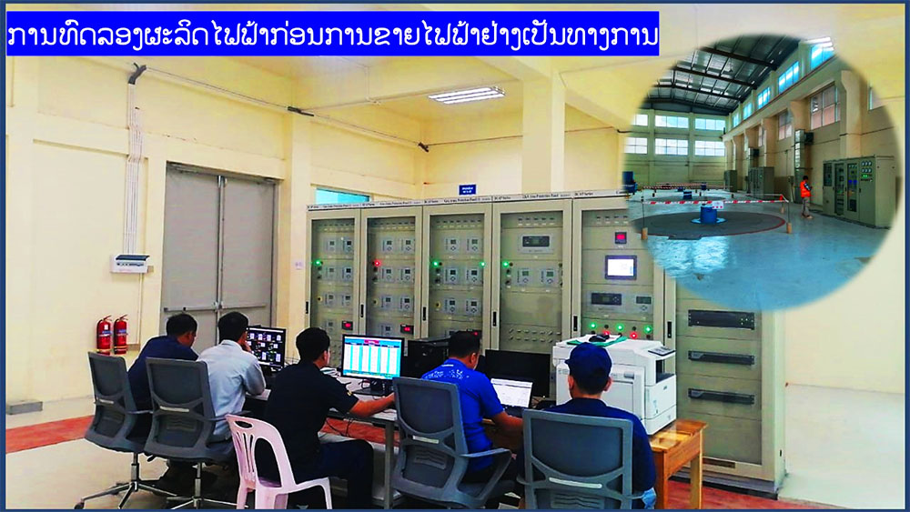
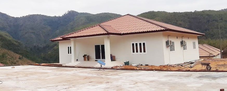
Image below shows Nam Houng 1 project administration building at the plant site
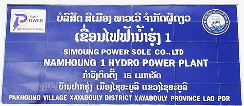
87 families living in Houeikeng and Pak Hung villages were negatively impacted by the Nam Houng 1 Dam project and received compensation for the loss of 132 hectares of land.
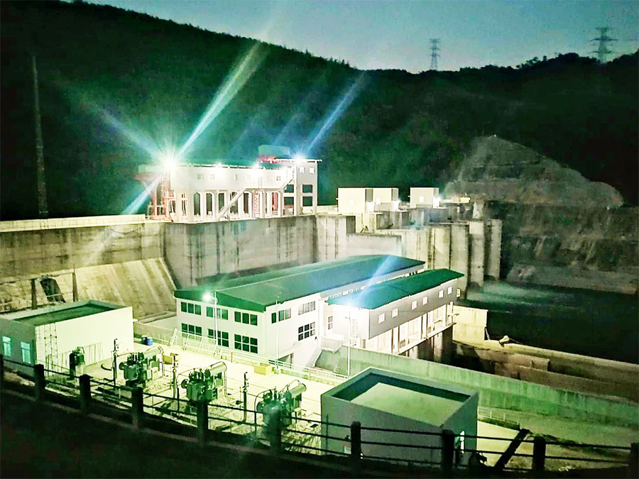
Night-time image below.
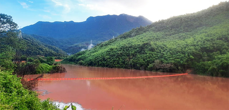
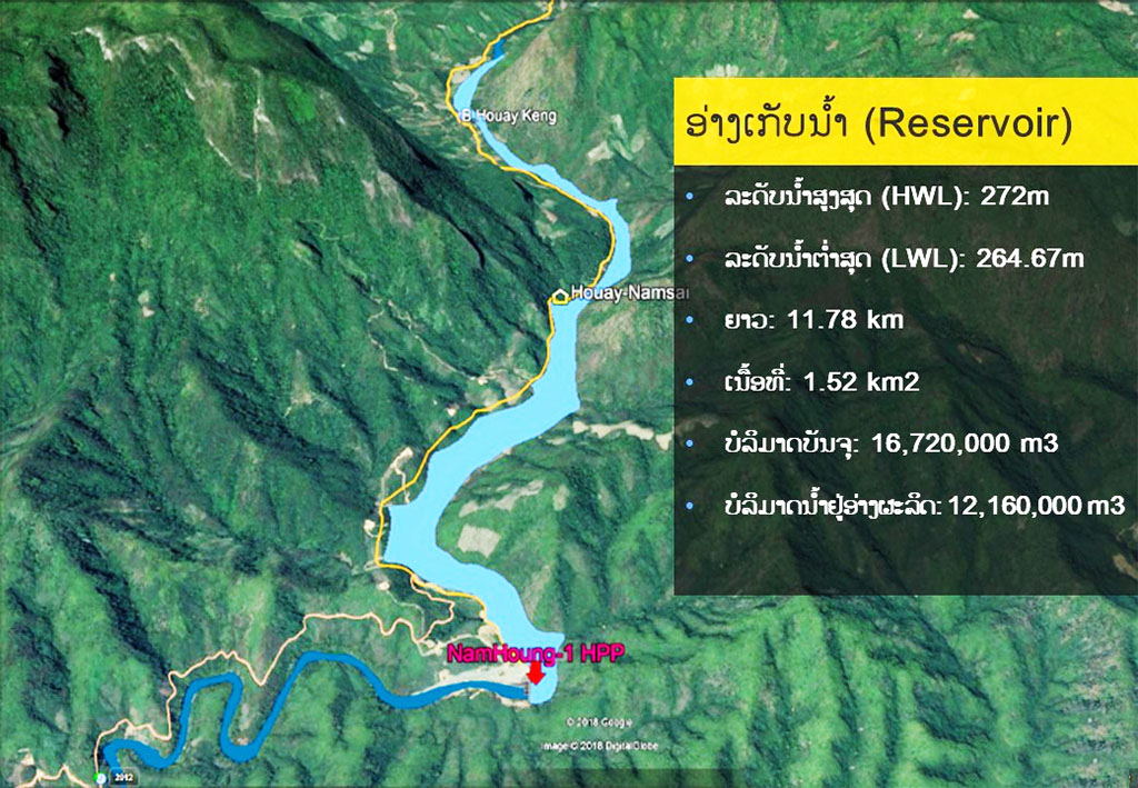
Images below show Nam Houng 1 Dam catchment area and reservoir.
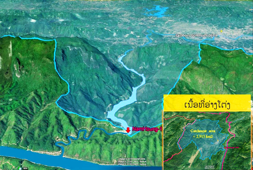
Catchment area is 2,915 square kilometers
High water level is 272 meters above sea level when reservoir contains 16,720,000 cubic meters of water
Low water level is 264.67 meters above sea level when reservoir contains 12,160,000 cubic meters of water
--------------------
2016 info for related projects - According to the provincial Energy and Mines Department, in other developments on the Nam Houng (river), the Nam Houng II project in Khonepied village area is to be studied by the Phanthamith Road Bridge Construction Company and the Nam Houng III project in Nakouang village area is to be studied by the DM Company.