Nam Ko Dam Oudomxay Hydropower Info by Hobo Maps - Go to Hydropower Projects Page - - - HOME
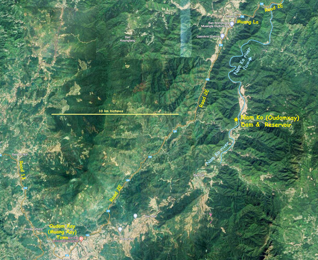
This Nam Ko Dam hydropower project is located in La district, Oudomxay Province of northern Lao PDR.
There is another Nam Ko reservoir in Xieng Khouang Province and our separate web page for this other project is at Nam Ko Xieng Khouang Dam Info .
The project in Oudomxay Province is on the Nam Ko river located in the Nam Ou river watershed basin.
The Nam Ko river flows north through the town of Oudom Xay (Muang Xay) and continues about 15 km further north to the Nam Ko hydropower project and then further north until it joins the Nam Phak river not far east of Muang La town, just below National Road 2E.
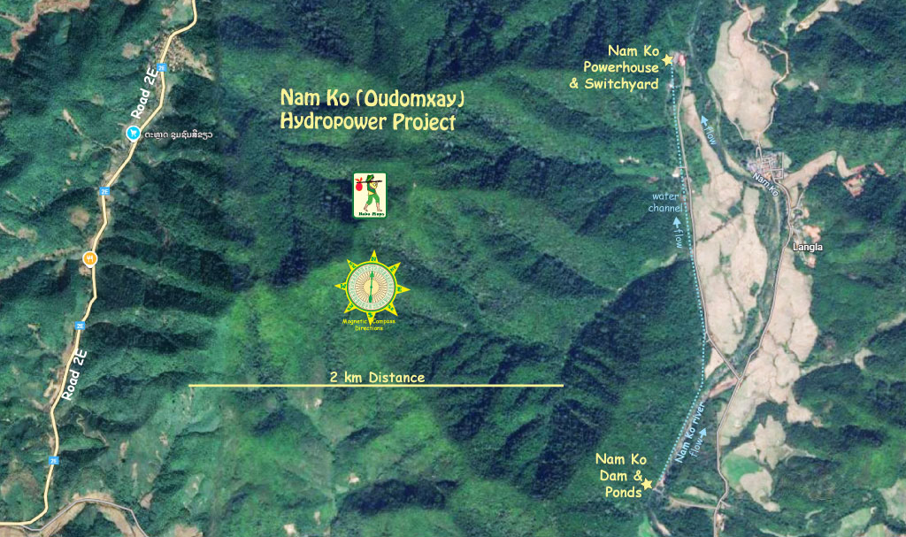
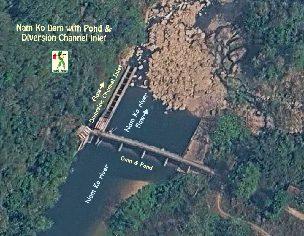
Location of Nam Ko dam & reservoir is seen on satellite images shown below at coordinates - 20°47'33.5"N 102°07'03.0"E (20.792639, 102.117493). (note: Nam Ko river is wrongly labelled as the Nam Phak river on Google Maps satellite images in 2026 at these coordinates).
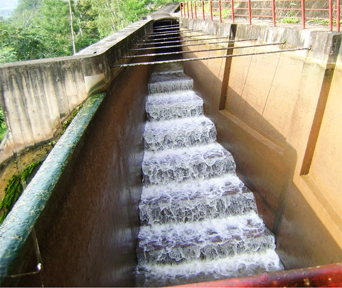
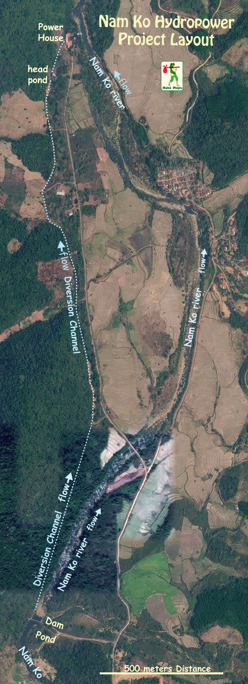
We can see a water channel from the dam location to the powerhouse that is about 2.3 km long in satellite image below:
Nam Ko layout map below:
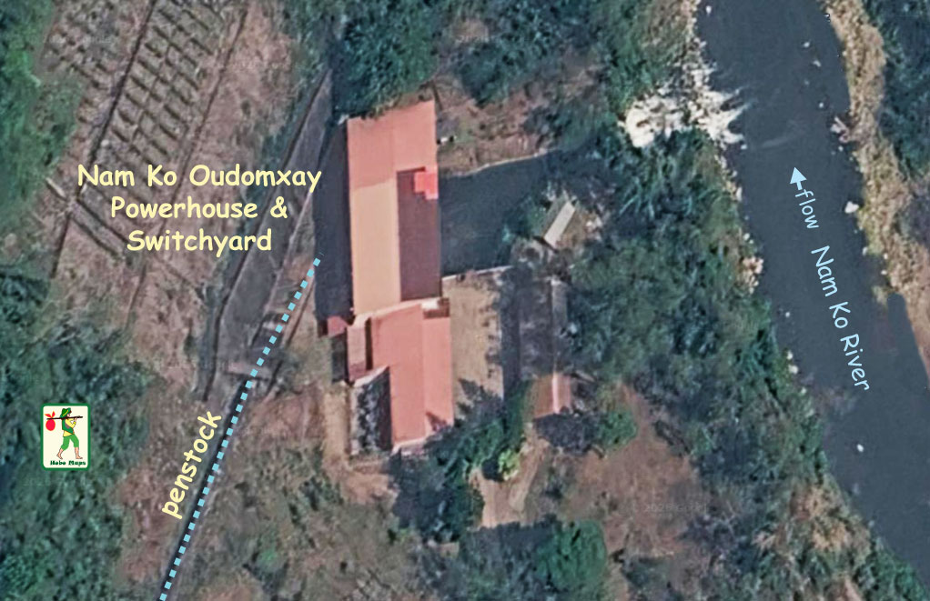
Nam Ko Oudomxay hydropower plant is a small 1.5 MW project with 8 GWh annual output capacity that has been in operation since 1996. The project is owned by EDL.
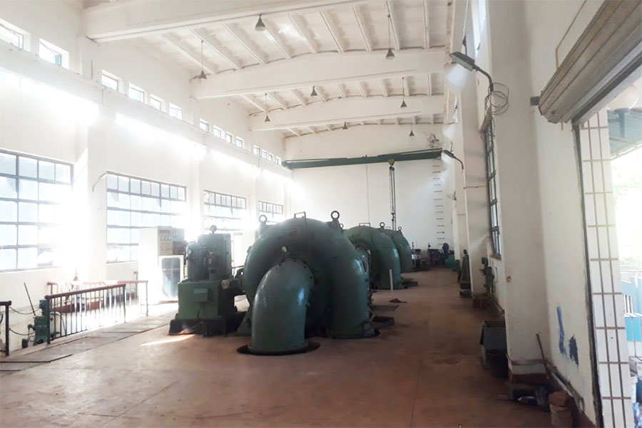
The Nam Ko powerhouse is located at coordinates 20°48'50.0"N 102°07'08.4"E (20.813889, 102.119000) in image below.
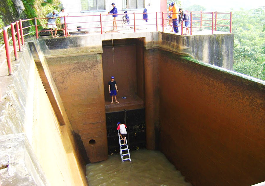
Nam Ko Dam & Pond image below located at 20°47'33.9"N 102°07'03.2"E (20.792750, 102.117556):
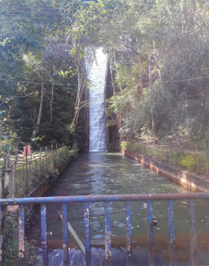
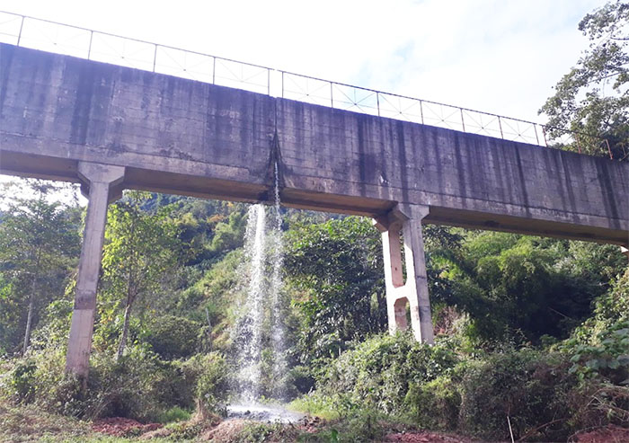
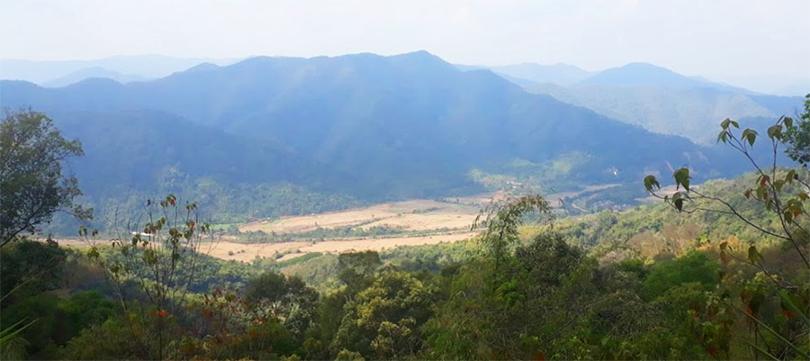
Nam Ko HPP images below are courtesy of Bounma Phommasuck as posted on Google Maps page for Nam Ko over the last few years.