Nam Mang 1 Dam Hydropower info by Hobo Maps - Go to Hydropower Projects Page - - - HOME
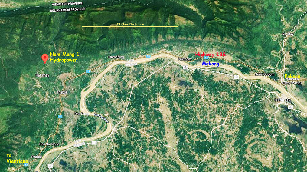
Nam Mang 1 Hydropower Project is located in Bolikhamsai Province, central Lao PDR about 12 km from Thabok town.
The project is developed and owned by Nam Mang 1 Power Co., Ltd.. Original shareholders were China-based Dongfang Electric Corp. owning 75%, Hong Kong-based Far East Industrial Ltd. 10.75%, Electricite du Laos (EDL GEN) may have a stake of 10% & 4.25 % by others.
Nam Mang is pronounced like "Nam Mong".
Nam Mang 1 project construction began in 2013 and started commercial operation in January 2017.
The project location is shown in satellite image below:

Nam Mang 1 Hydropower Project is a Run-of-River type and consists of a rock-fill dam, spillway, diversion system and power generation system.
Installed capacity of the project is 64 MW with annual power output 224 GWh planned to be be delivered to Thailand and Laos power grids.
The project was primarily developed by Chinese-based companies - Dongfang Electric Corp. (DEC), Far-East Industrial and Saytha Construction Company.
Early estimations were that the project would cost about US$ 95 million to build. Financing probably was provided by a Chinese source since they refer to this project as part of China's Belt & Road Initiative, but this needs confirmation.
Nam Mang 1 Hydropower project site locations shown in image below:
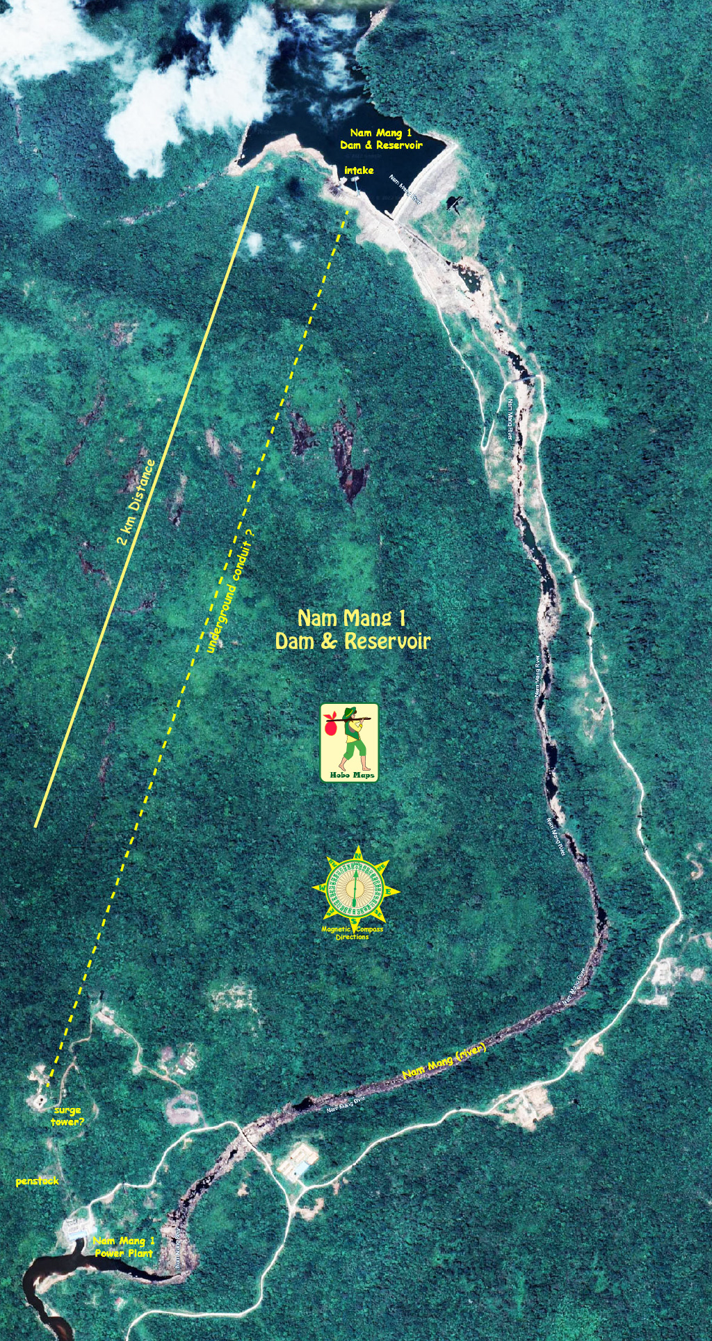
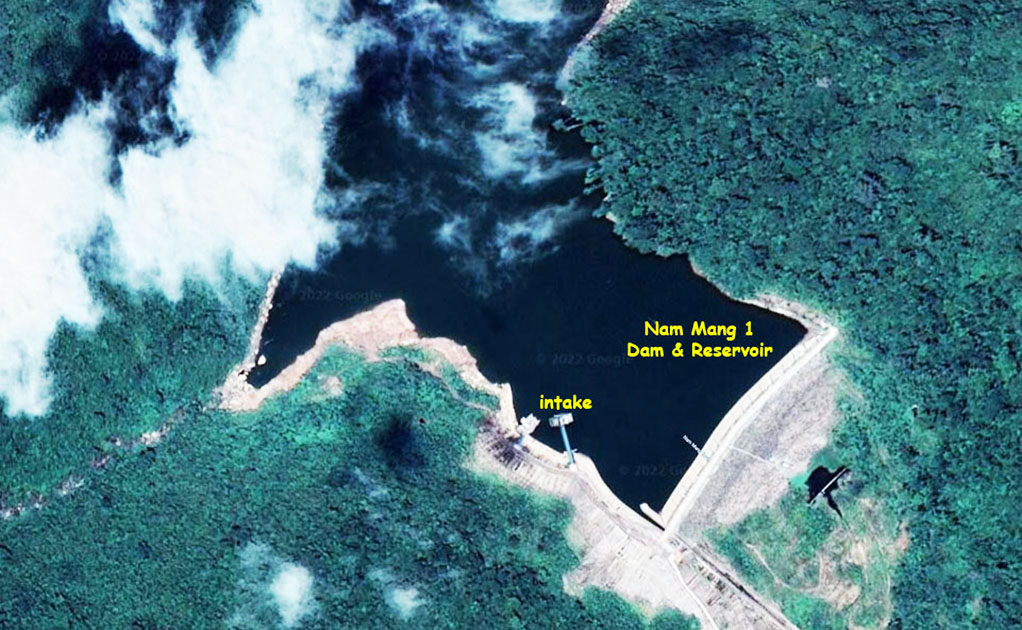
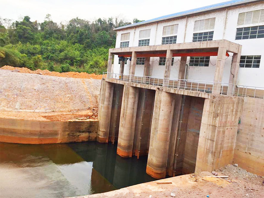
Nam Mang 1 dam & reservoir image below at coordinates - 18°28'17.4"N 103°11'01.3"E (18.471503, 103.183697):
Nam Mang 1 power plant image below at coordinates:18°26'35.1"N 103°10'21.4"E (18.443083, 103.172611)
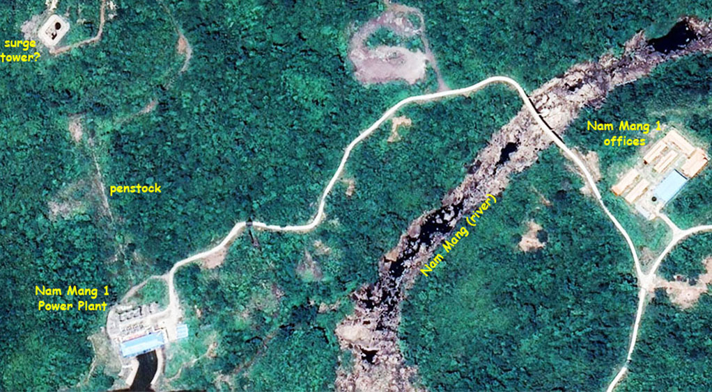
Surface area of the reservoir at full supply level is 320 sq km. with capacity of 16.52 million cubic meters.
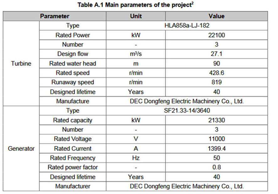
Net head of the project is 86 meters.
Project structures include a head face rock-fill dam, spillway, diversion system, generation system, power plant & switch yard.
The project has 3 turbines supplied by Dongfang Electric, each with 21.33 MW nameplate capacity for total of 64 MW.
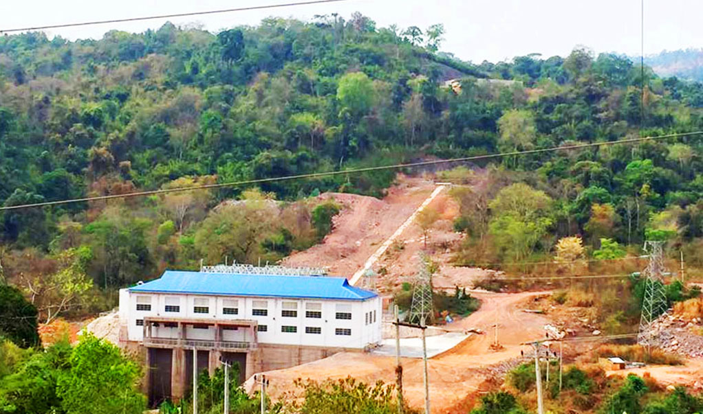
Nam Mang 1 powerhouse and penstock image below:
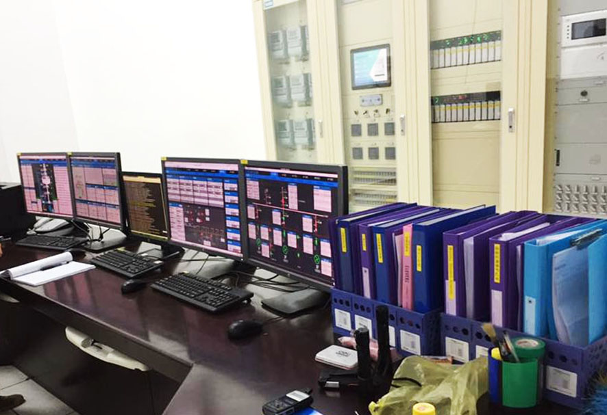
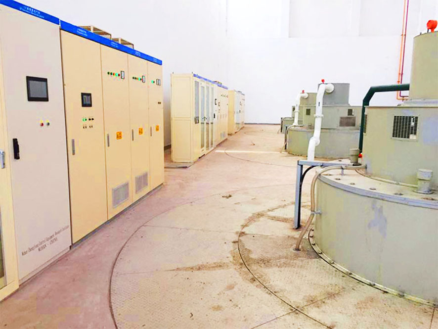
Nam Mang 1 control room images below:
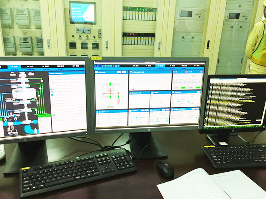
Nam Mang 1 turbine room image below:
Nam Mang 1 tailrace from powerhouse image below:
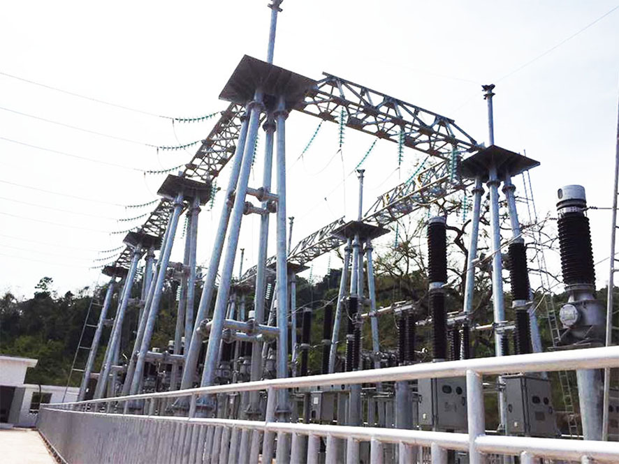
Nam Mang 1 switchyard image below:
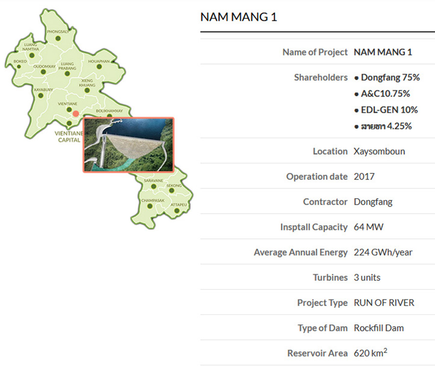
Reservoir Area in EDL chart above is for Catchment Area, the reservoir surface area is about 2.5 sq km from satellite image estimate.
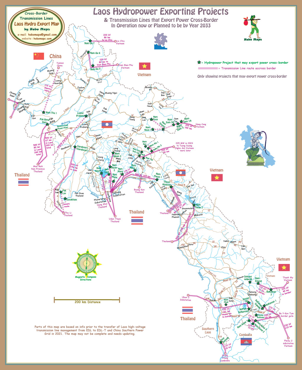
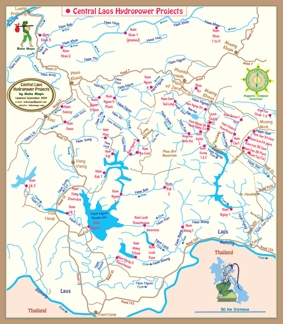
Nam Mang 1 location shown in lower right part of map below:
The Nam Mang 1 Hydropower project has qualified as a greenhouse-gas-reducing Clean Development Mechanism (CDM) project under the Kyoto Protocol and has a 7-year renewable crediting period. The average annual CO2 emission reductions during this crediting period are estimated to be 125,700 tons per year. View/download the CDM application document HERE .
Nam Mang 1 hydropower is able to export some of its output to Thailand via the Nabong Substation as seen in the Export Map below. See enlarged version HERE.
