Nam Pha Dam Hydropower Info - by Hobo Maps - Go to Hydropower Projects Page - - Home
Nam Pha is pronounced like "Nam Pah".
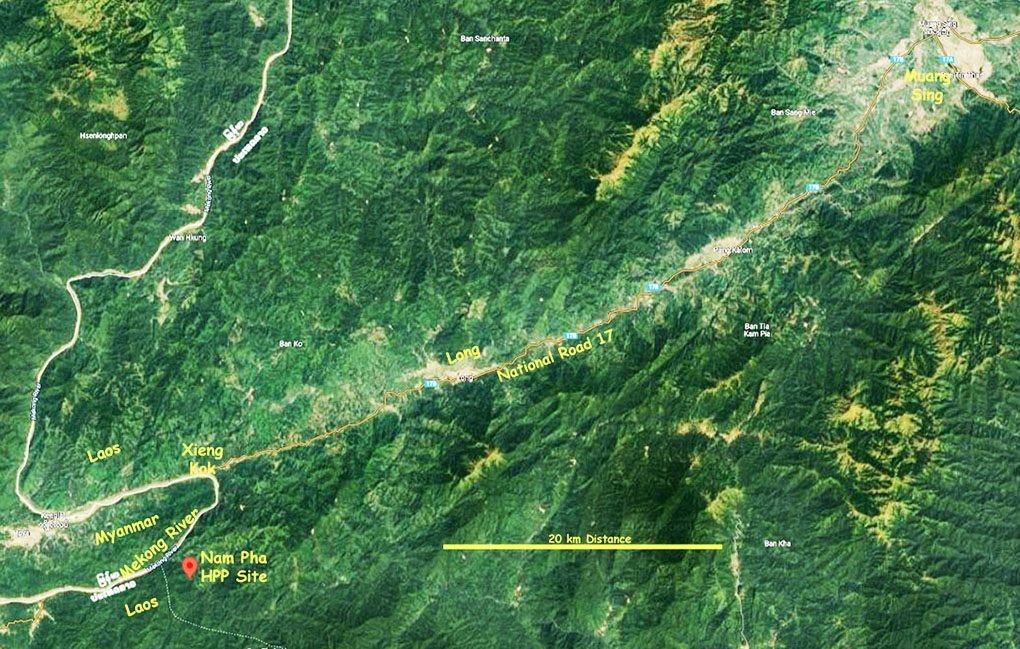
The Nam Pha hydropower project is planned to be located just east of the Mekong River about 8 km south of Xieng Kok town in Long District of Luang Namtha Province, northern Lao PDR.
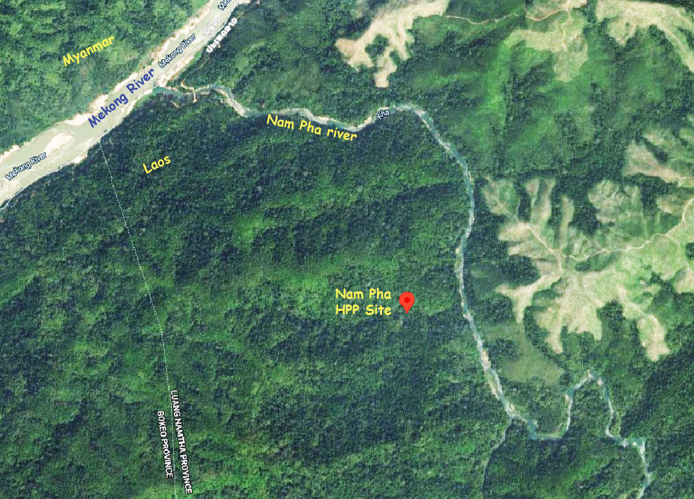
The project would be constructed on the Nam Pha (river) about 3 km upstream from its confluence with the Mekong River.
The proposed project coordinates are - 20°49'47.9"N 100°37'45.5"E (20.829973, 100.629303) as shown in the satellite image below:

The project seems to still be in the planning or permit stage in year 2024 and construction has apparently not yet started.
Nam Pha hydropower project has been planned for a number of years and has been rated as a 180 MW & 130 MW & 45 MW project.
Nam Pha hydropower project site location image below:

In August 2010, an agreement was signed between the Ministry of Planning and Investment and AP Bizlink for the development of the project.
Malaysia-based Asia Pacific Business Link Snd Bhd Co. Ltd. was named to be lead developer and partial owner (80%) with Electricite du Laos to have a 20% ownership interest.
Nam Pha is a reservoir-based project that is expected to cost around $332 million US.
Plans include construction of a gravity roller compacted concrete (RCC) dam 145 meters high that would have a crest length of 515 meters and a trench cut-off wall at each abutment.
The larger project design would have a 2,825 square km catchment area on the Nam Pha river. The reservoir surface area would cover about 71 square km.
The 45 MW projet design has Reservoir Area (full supply level/FSL): 106.7 square km
The plans include construction of a substation and a 115 kv transmission line that would connect the Nam Pha switchyard with the Lao electricity grid.
The project has components and impacts located in areas of both Long district of Luang Namtha province and Meung district of Bokeo province.