Nam Pung (Pang) Dam Hydropower by Hobo Maps - Go to Hydropower Projects Page - - Home
Nam Pung Hydropower project is located in Mok District, Xieng Khuang Province northern Lao PDR.
The project is under construction by Phongsubthavy Group in year 2024 with intent to sell output to Vietnam when the project is completed.
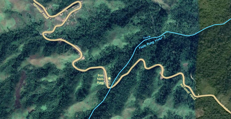
Ban Nam Pung village is at 19°07'59.9"N 103°51'00.0"E (19.133300, 103.850000) per Google Maps as seen in satellite image below:

Ban Nam Pung is a village in Mok District of Xieng Khouang Province located at an elevation of 1,540 meters above sea level.
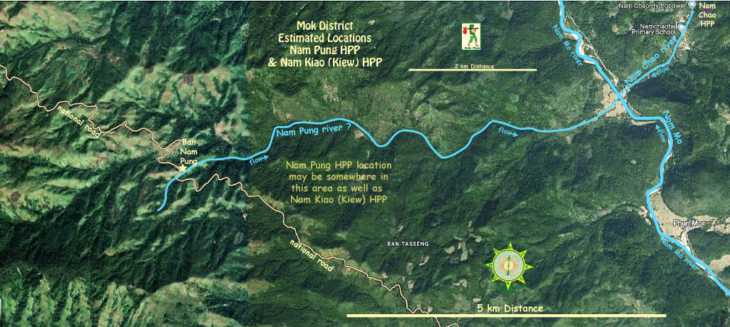
Phongsupthavy website groups Nam Pung and Nam Kiao (Kiew) hydropower projects together as having combined capacity of 20 MW. From this we are assuming the two projects are located in the same area but we could easily be wrong. Need precise locations for both.
In satellite image below we are assuming the river that flows by Ban Nam Pung is called Nam Pung and that Nam Pung Hydropower project is in the same general area but we could easily be wrong. Also needs confirmation.
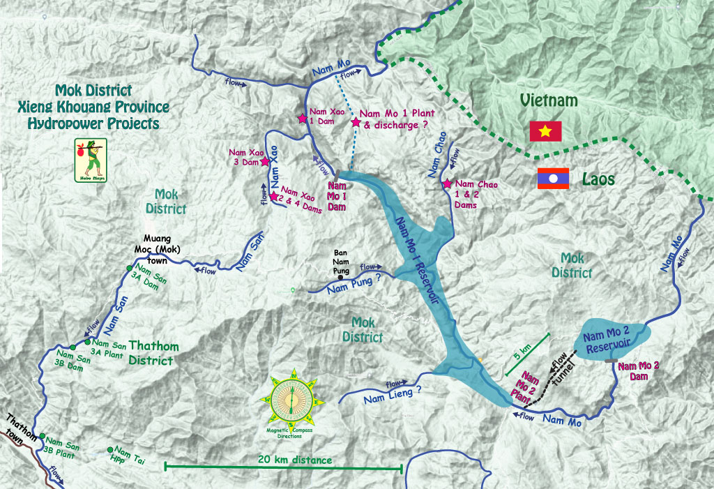
Nam Pung Hydropower project is probably located somewhere on the Mok District map below but we aren't sure where.
Nam Pung (Pang) plant will have two Pelton turbines with 1.23 meter runner diameter at 4.481 MW each = 8.96 MW total.
The project will benefit from head of 510 meters.
Nam Pung HPP construction images below from around December 2023.
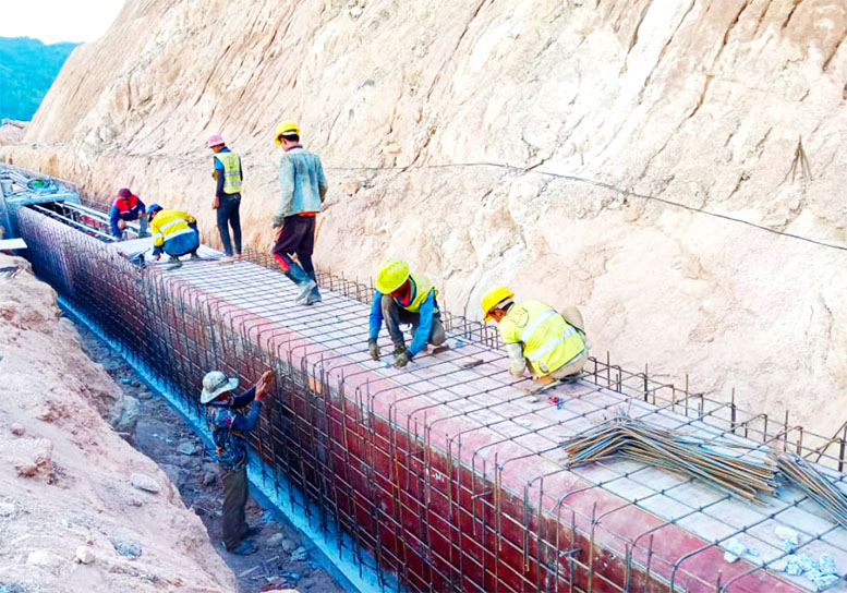
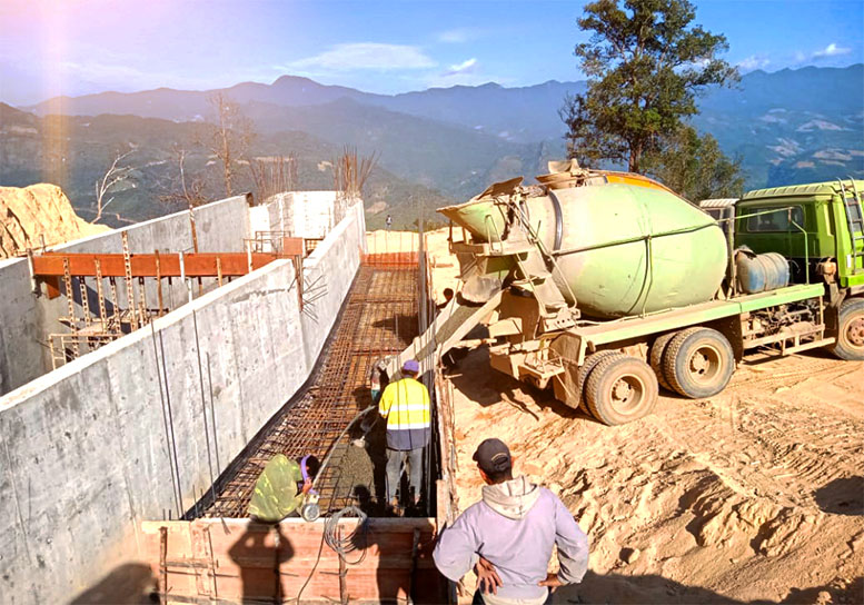
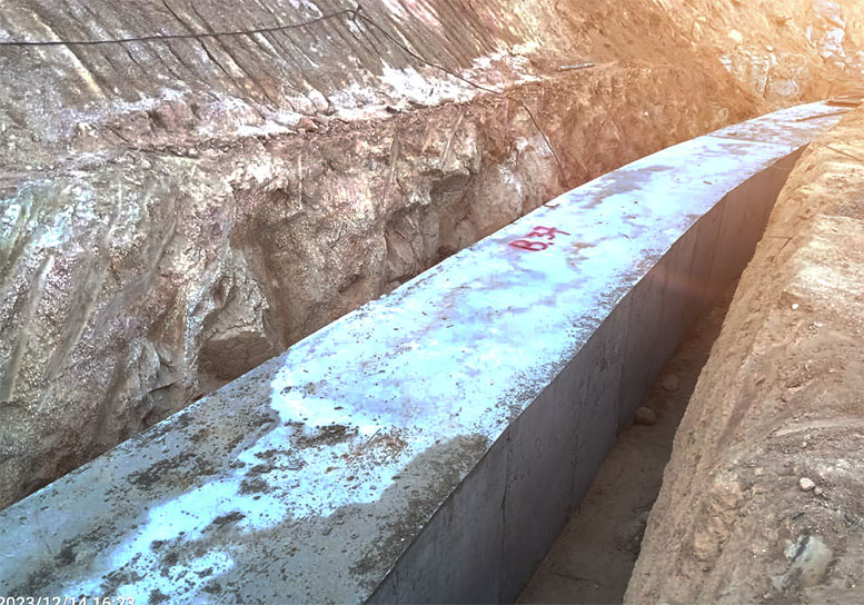
Various news reports in June 2021 reported that Electricity of Vietnam (EVN) has exchanged power purchase contracts with Phongsubthavy Group for the Nam Yeuang hydropower plant cluster, the Nam Mo 2 project, Nam Tai, Nam Sak, Nam Sao and Nam Chao hydroelectric plants. Since Nam Pung HPP is probably located close to these plants, it might be easy to add output from Nam Pung to this 220 kV export transmission line.
