Nam Tha 1 Dam Hydropower info by Hobo Maps - Go to Hydropower Projects Page - - Home
Nam Tha 1 Hydropower Project dam is constructed across the Nam Tha (river) about 62 km upstream from where the river joins the Mekong. The project is in Pha Oudom district of Bokeo Province, northern Lao PDR.
Nam Tha is pronounced like "Nam tah".
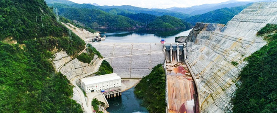
Nam Tha 1 Dam and Powerhouse images below:

The Nam Tha river begins in northern Laos near the Lao-China border and runs southwest to join the Mekong just south of Houay Xay in Bokeo Province on the Lao-Thai border.
The project was jointly developed by China Southern Power Grid International as 80% owner and Electricite du Laos (EDL) as 20% owner in the form of a build-operate-transfer (BOT) venture. A subsidiary, Nam Tha 1 Lao Power Co. Ltd., is in charge of the project.
On July 22 , 2019 Nam Tha 1 Hydropower plant started commercial operations. The project will transfer ownership to the Lao government after 28 years of concession operation. The project cost was estimated at US $450 million.
The installed capacity is 168 MW with 759 GWh annual output potential.
The project includes power generation, flood control and irrigation.
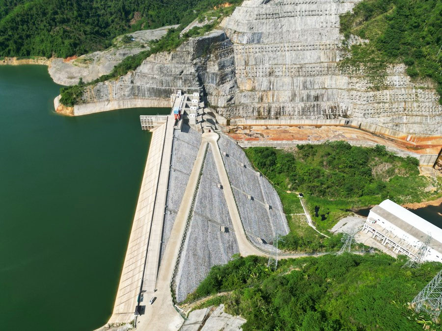
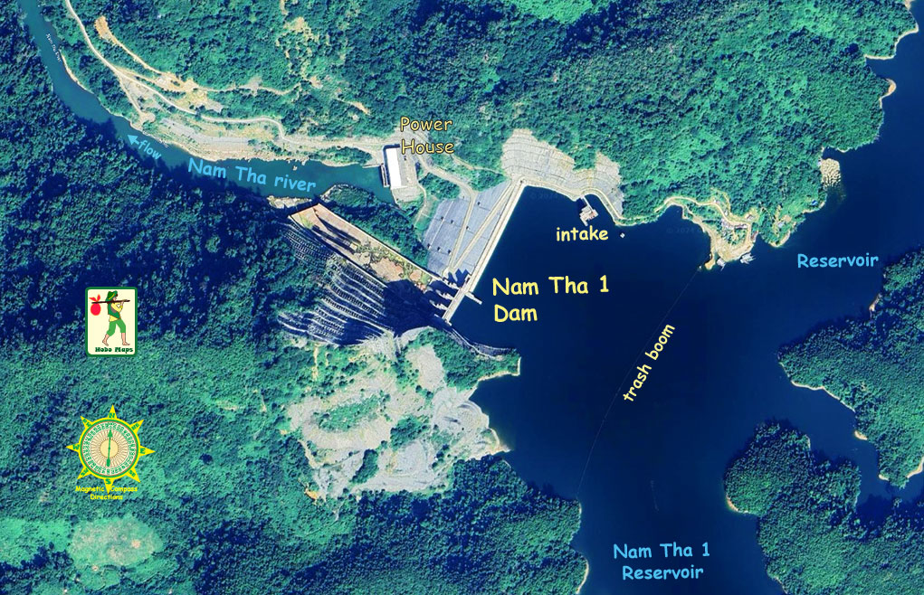
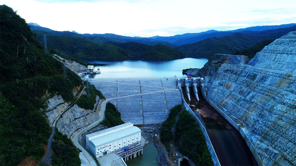
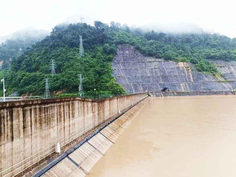
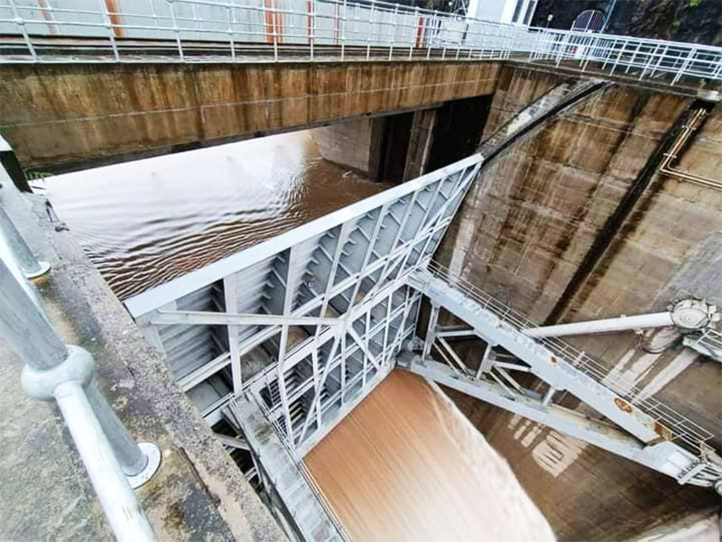
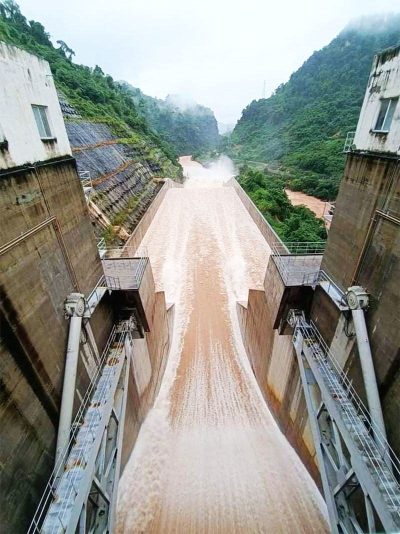
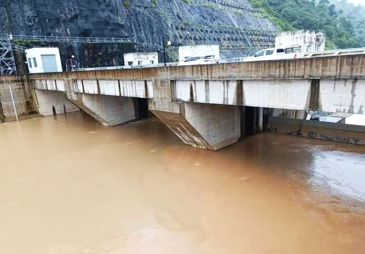
The power plant consists of a left bank spillway, concrete face rock-fill dam, right bank diversion power system and right bank powerhouse.
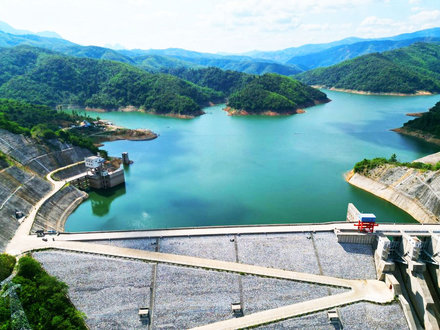
The dam structure height is 93.6 meters and it creates a reservoir of 64 square kilometers area. The normal water level of the reservoir is 455 meters above sea level.
The reservoir flooded 34 villages and 11 resettlement sites were constructed with more than 10,000 residents resettled. Of the collective 55 dams in Laos at the time of commissioning, the Nam Tha 1 Hydropower project had the largest scale of resettlement.
The project involved construction of a 82 km long 115-kV transmission line to a substation in Houay Xay district and another 40 km long 115-kV transmission line to a substation in Luang Namtha province.
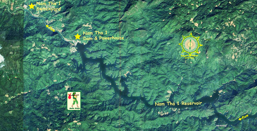
Satellite image below of Nam Tha 2 Dam & Nam Tha 1 Dam locations:

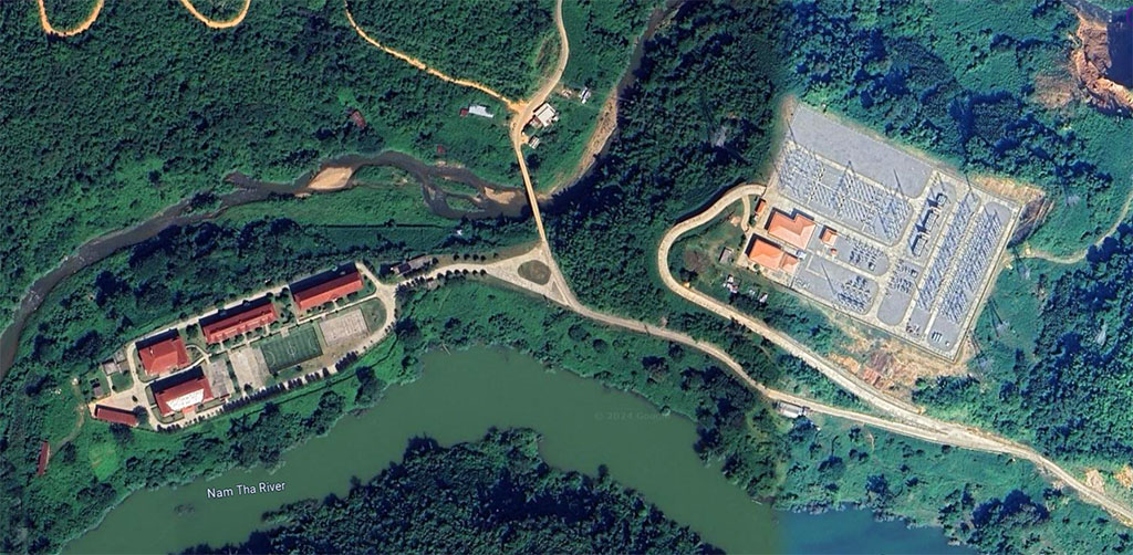
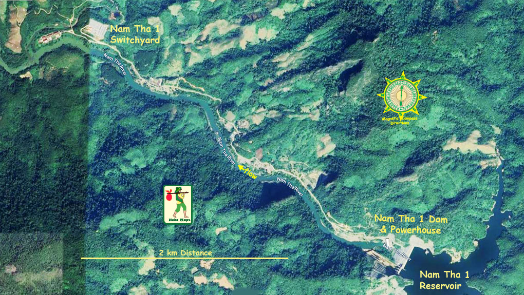
Nam Tha 1 plant site & switchyard image below at coordinate 20°16'01.2"N 100°52'08.4"E (20.267, 100.869).
Nam Tha 1 Dam & Reservoir satellite images below of dam & powerhouse at coordinates - 20°15'58.5"N 100°52'03.0"E (20.266250, 100.867500)
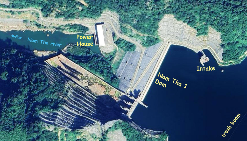
Nam Tha 1 dam & plant site satellite images below:
Twilight dam image below:
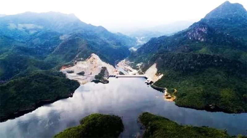
Nam Tha 1 area images below:
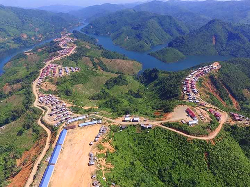
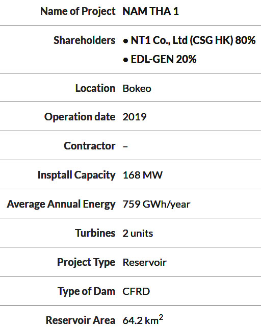
Nam Tha 1 Rotor installation below:

Nam Tha 1 head cover installation image below:
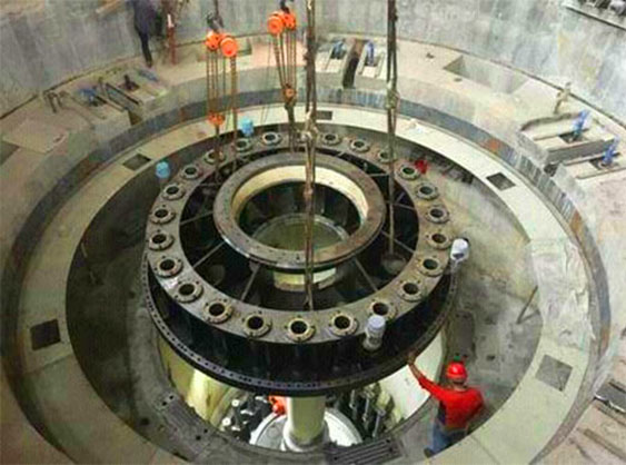
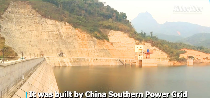
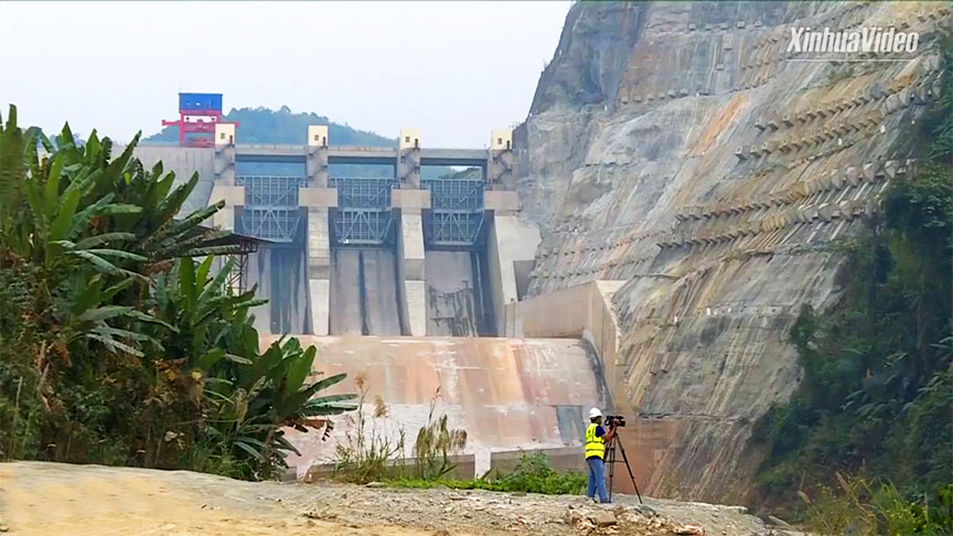
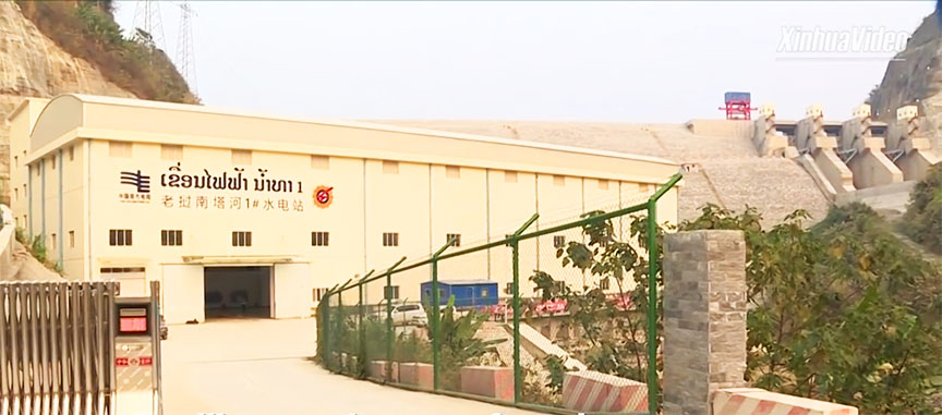
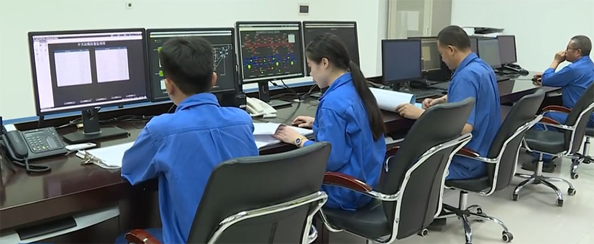
Nice video of Nam Tha 1 Hydropower project HERE - screenshots from this video below:
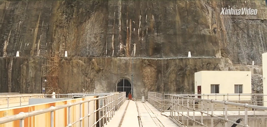
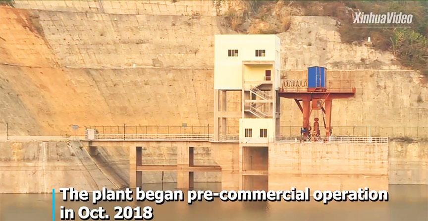
Images below from Facebook posting Sept. 10, 2024 during very high water and strong releasing of water from the dam.
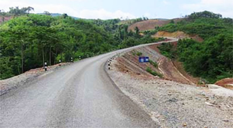
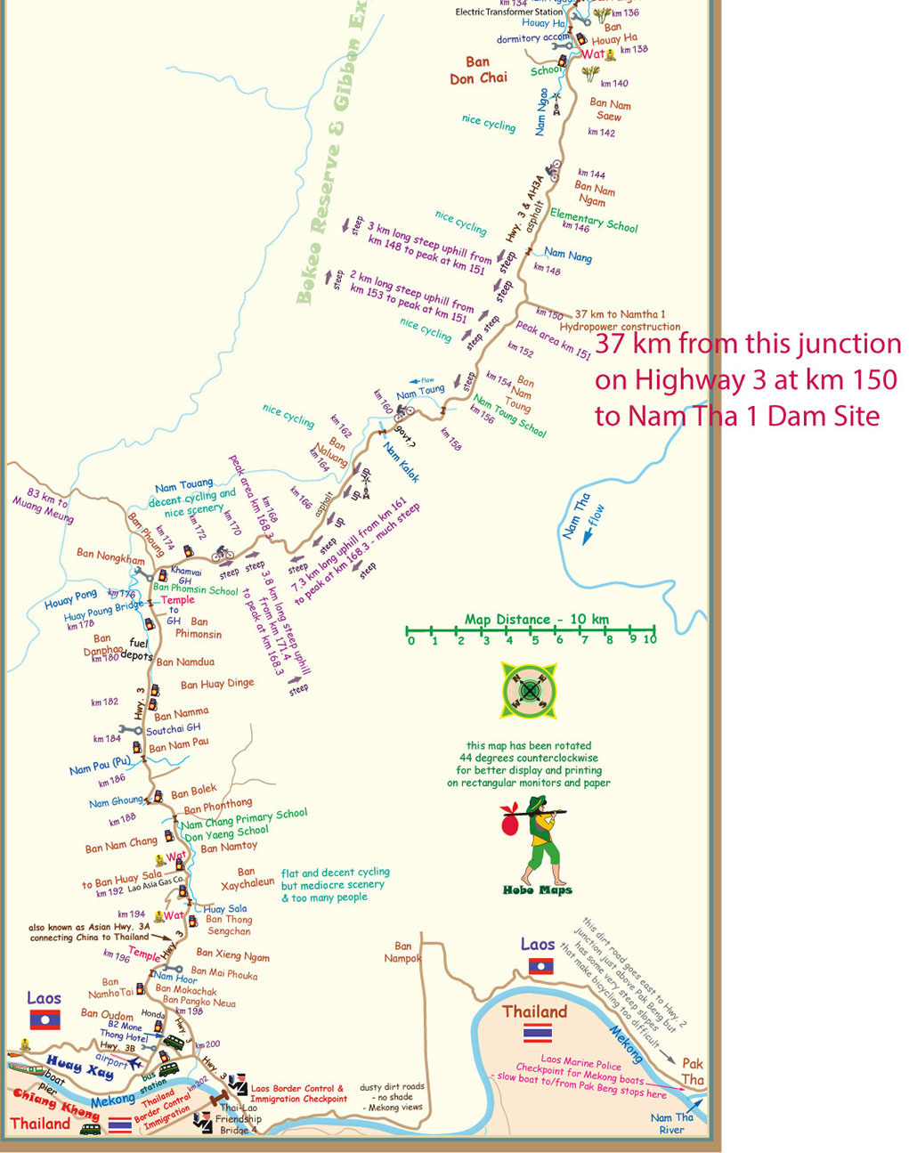
A 37 km access road has been built from National Road No. 3 to the project site in PhaOudom district, Bokeo province.
Directions to get to NamTha 1 Dam site below:
In 2019 the project sold most of its generated power to Golden Triangle SEZ in Bokeo province and to Boten SEZ in Luang Namtha Province.
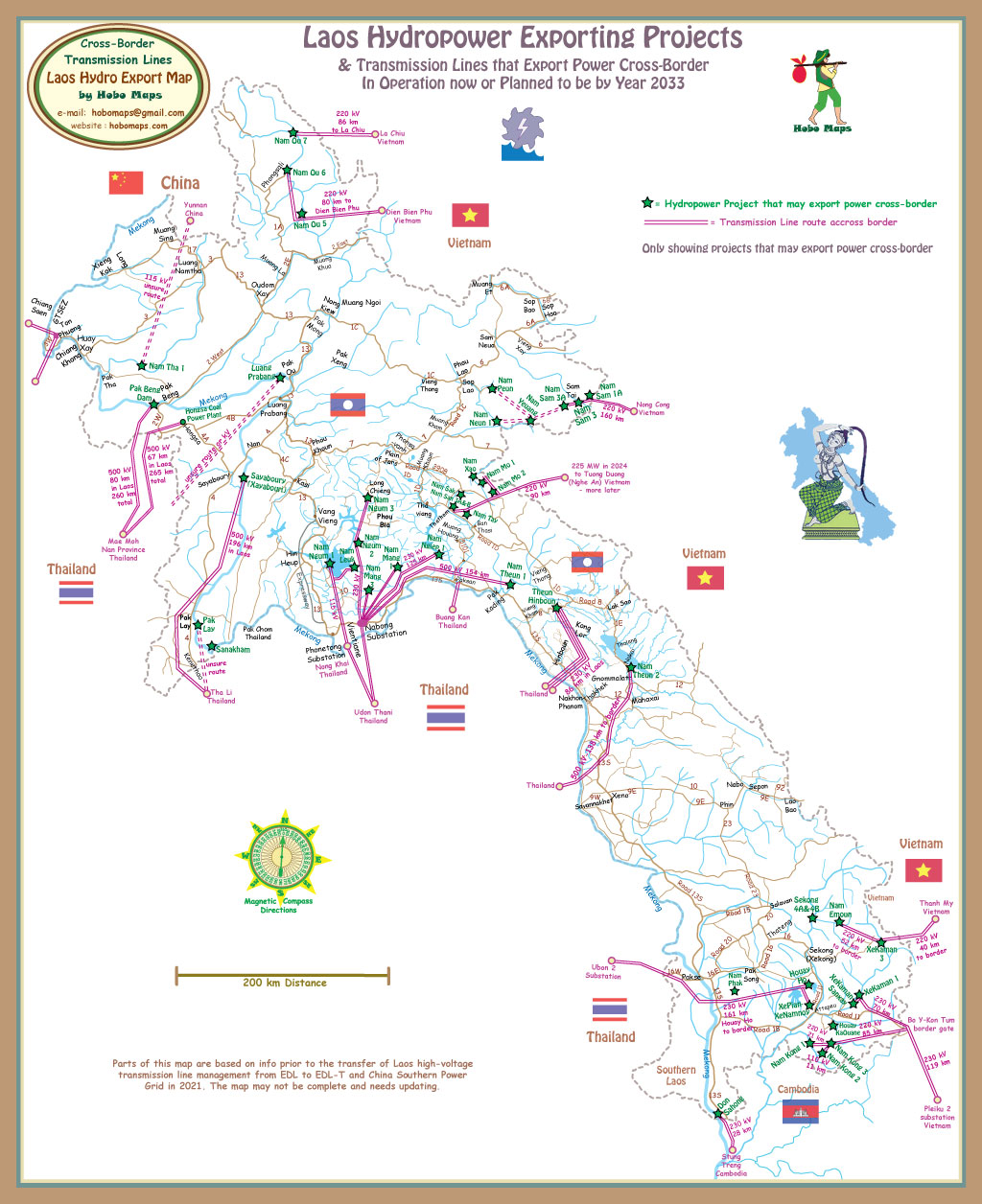
In June 2022, Nam Tha 1 Hydropower plant sent electricity to Yunnan Province in Southwest China in order to utilize surplus hydropower generated during the rainy season. China Southern Power Grid (CSG) and Electricite du Laos (EDL) signed a 115 kV power trade agreement in March 2022 whereby Laos will send extra hydropower to Yunnan Province in rainy seasons while CSG will send power to northern Laos in dry seasons. Not sure of exact route but transmission line is seen in upper part of map below. See enlarged version HERE
