Xe Namnoy 1 Dam Hydropower Info - by Hobo Maps - Go to Hydropower Projects Page - - - Home
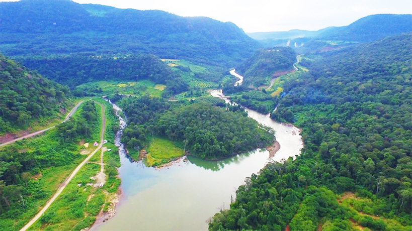
XeNamnoy 1 Hydropower project is located on the main stream of the XeNamnoy (river) in south-eastern Bolaven Plateau, Attapeu Province, Lao PDR. The project is located near Pengphukham Village, Samakhixay District.
XeNamnoy is pronounced as "Say nam noy".
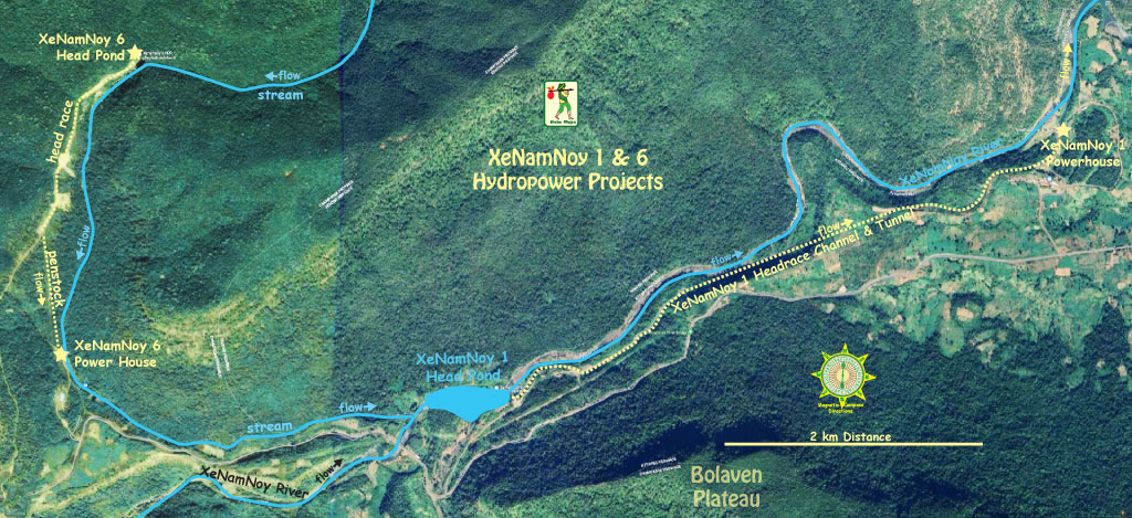
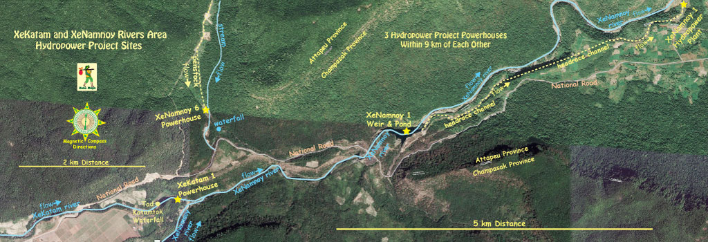
XeNamNoy 1 & 6 hydropower projects both on satellite image below: XeNamNoy 1 head pond is at coordintaes - 15°08'02.6"N 106°40'39.2"E (15.134056, 106.677556) and XeNamNoy 1 Powerhouse at 15°09'11.0"N 106°43'07.0"E (15.153056, 106.718611):

Also see our satellite image area map that is too large to display on this web page - XeKatam and XeNamnoy Rivers Map
3 hydro projects within 9 km of each other - XeNamNoy 1 & 6 and XeKatam 1 .
According to the CDM filing document (see below) the project was developed by Phongsubthavy Road & Bridge Construction Co., Ltd.. and later incorporated into Xe Nam Noy 1 Hydropower Company Limited which is now 100% owned by Lao-based Chaleun Sekong Group Co. Ltd. (CS Energy).
Project cost was US$ 36.86 million
Xe Namnoy 1 hydropower project area image below:
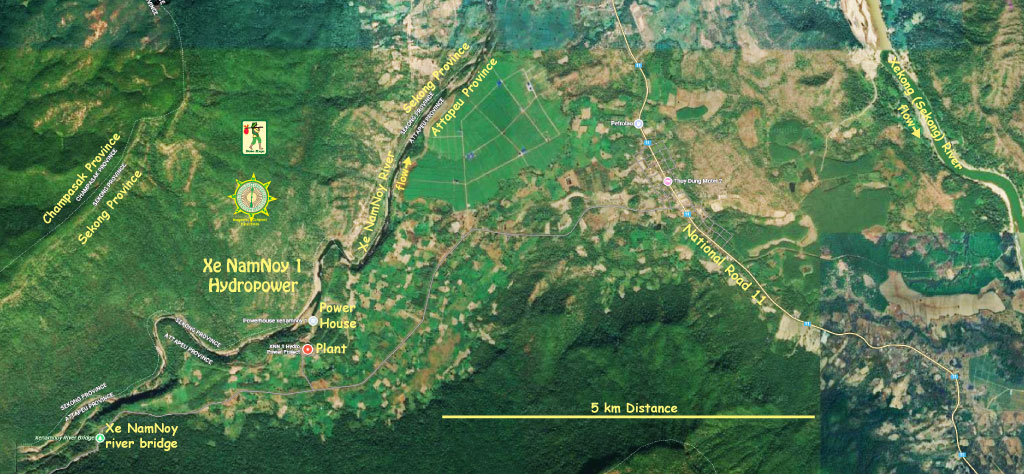
The project is a run-of-river hydropower type. The installed capacity of the project is 14.8 MW with annual capacity of 85 GWh power supplied to EDL at Ban Lak 52 by a 22 kV transmission line - 3 circuits, 5.2 km length.
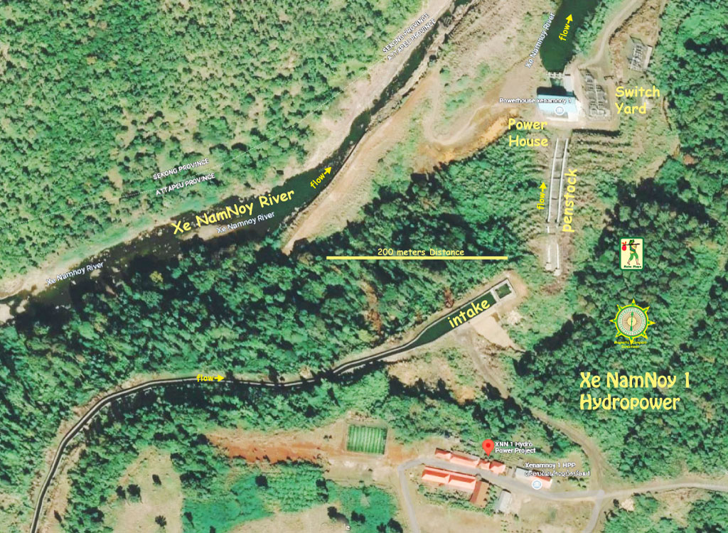
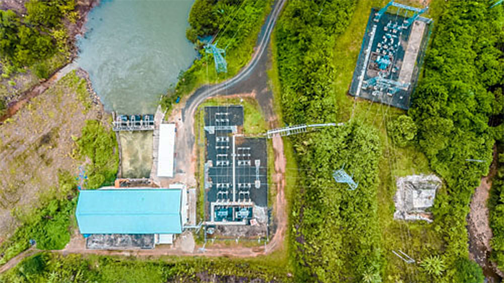
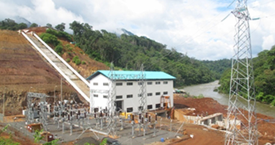
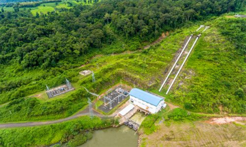
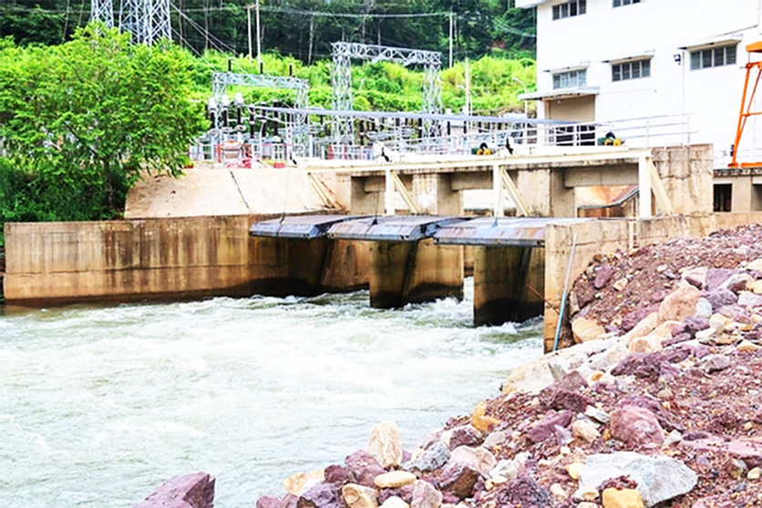
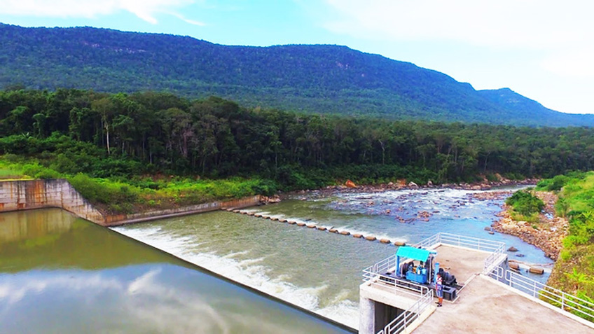
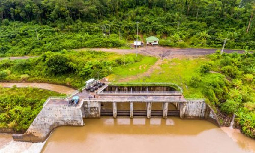
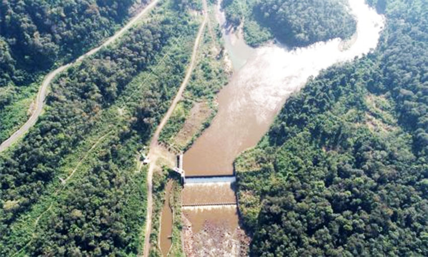
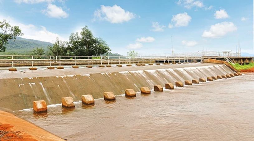
The construction of the project includes fixed weir, sand flush, intake structure, headrace channel, head tank, penstock, powerhouse with 2 units of turbines (2 x 7.4 MW) and a tailrace.
Xe Namnoy 1 hydropower project site image below:
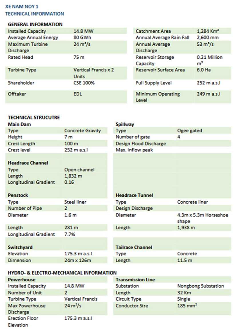
Xenamnoy 1 Dam Hydropower statistics charts below:
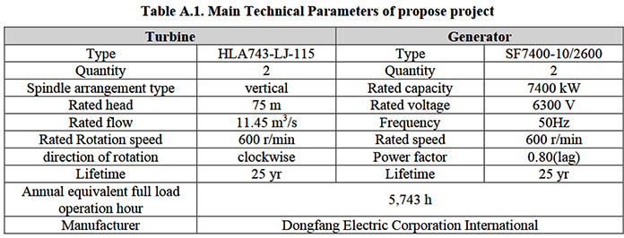
As the construction site is far from the nearest village, the project apparently will not result in any displacement of residents or inundation of houses. The project is a run-of-river project and does not have a large reservoir. A minimum flow will always be released from a small head pond to maintain the eco-system and meet demand for irrigation downstream.
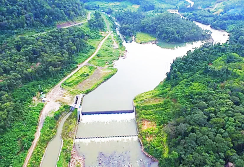
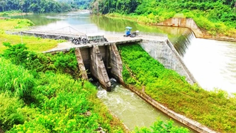
XeNamnoy 1 Hydropower plant images below:
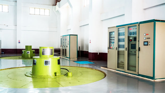
Other images of XeNamnoy Hydropower project below:
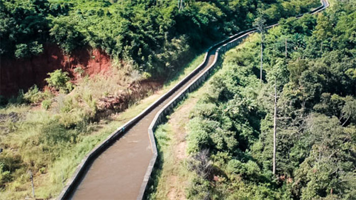
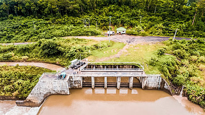
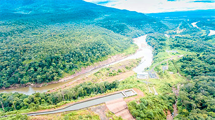
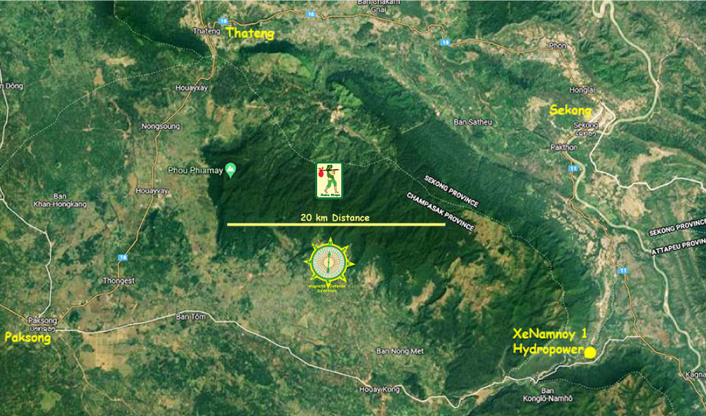
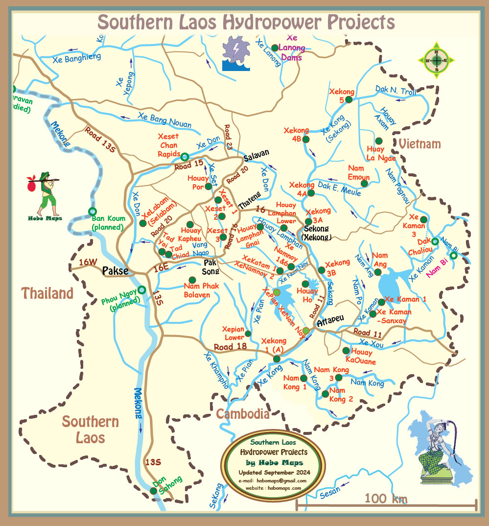
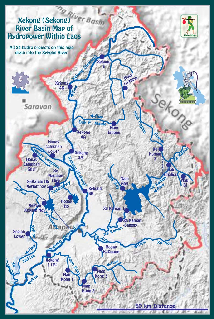
XeNamnoy 1 Dam location shown on center of map below:
XeNamnoy 1 Dam Hydropower project is designed to qualify for receipt of carbon reduction credits under the Kyoto Protocols since it may reduce overall CO2 emissions by replacing dirty power production based on combustion of fossil fuels. Annual carbon dioxide greenhouse gas emission reductions are estimated to be 47,558 tons per year. View or download the CDM application document HERE .
More images of XeNamnoy 1 project below:

XeNamnoy 1 project history below from CS Energy website:
-----------
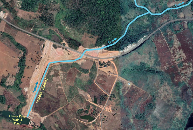
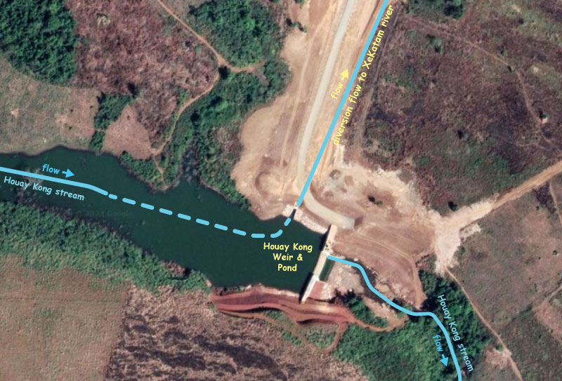
In recent satellite images we see a new diversion of water from Houay Kong stream into XeKatam & XeNanoy river systems as shown below: See larger scale version HERE
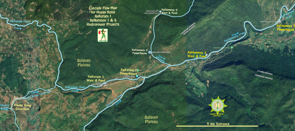
This diversion should increase output for both XeKatam 1 & XeNamnoy 1 powerhouses. We're not sure who developed and financed the Houay Kong diversion. All we know is what we see on satellite images in 2024.

Houay Kong diversion images below at coordinates 15°06'17.5"N 106°33'58.1"E (15.104861, 106.566139):
