Xeset 3 Dam Hydropower Info - by Hobo Maps - Go to Hydropower Projects Page --- Home
Xeset 3 Hydropower Project is located on the Xeset (river) near Xetkhot Village in Pakxong District, Champasak & Saravan Provinces in the south of Lao PDR, about 50 km northeast of Pakse and not far upstream from Xeset 1 and Xeset 2 hydropower projects.
Xeset is pronounced as "Say set".

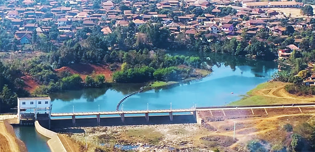
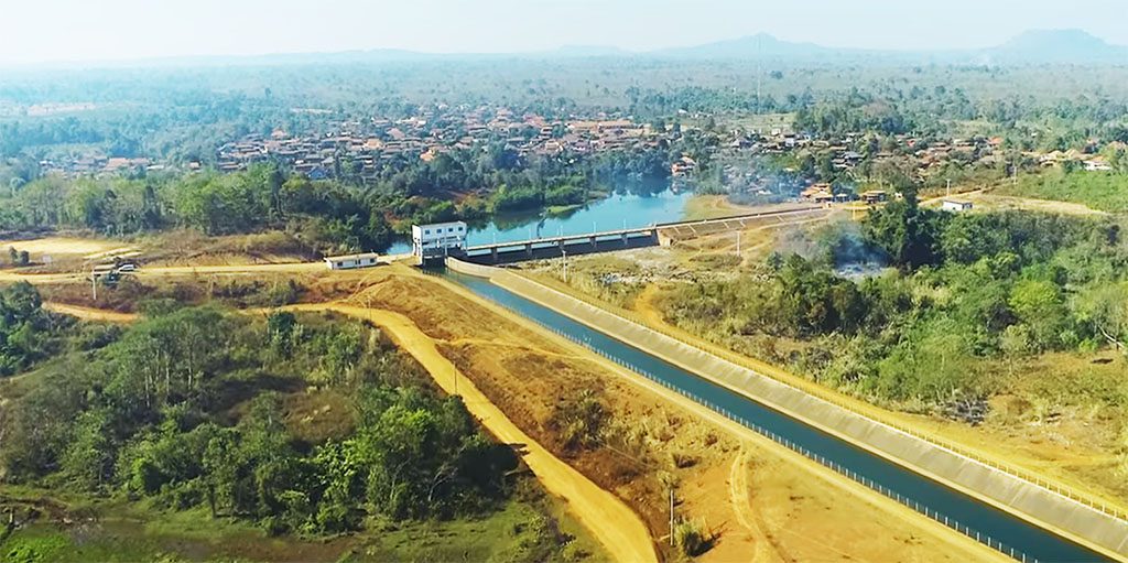
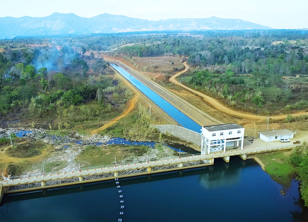
Xeset 3 dam site images below:
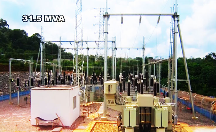
Xeset 3 powerhouse and switchyard image below:
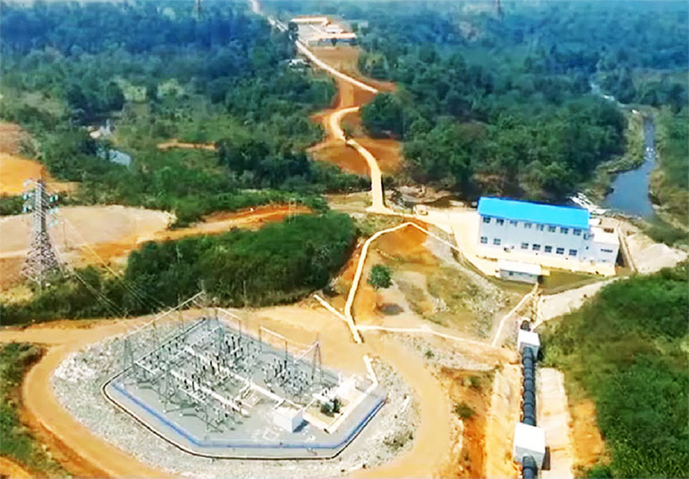
The project was initially owned and operated by Electricite du Laos (EDL) but now by EDL GEN. The project cost of more than US $50 million was partially financed by preferential buyer's credit from Export-Import Bank of China.
China-based Norinco Intl. was the main contractor for the project.
Construction began in January 2014 and was completed with handover on January 17, 2017.
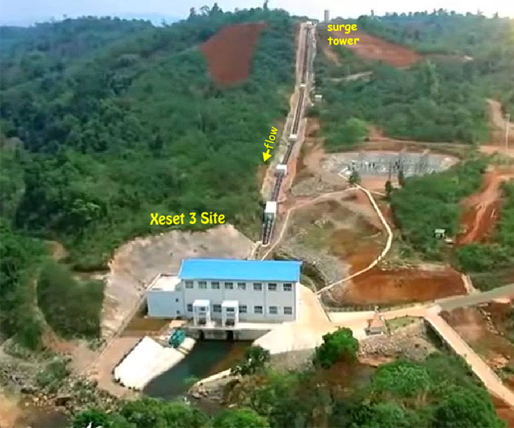
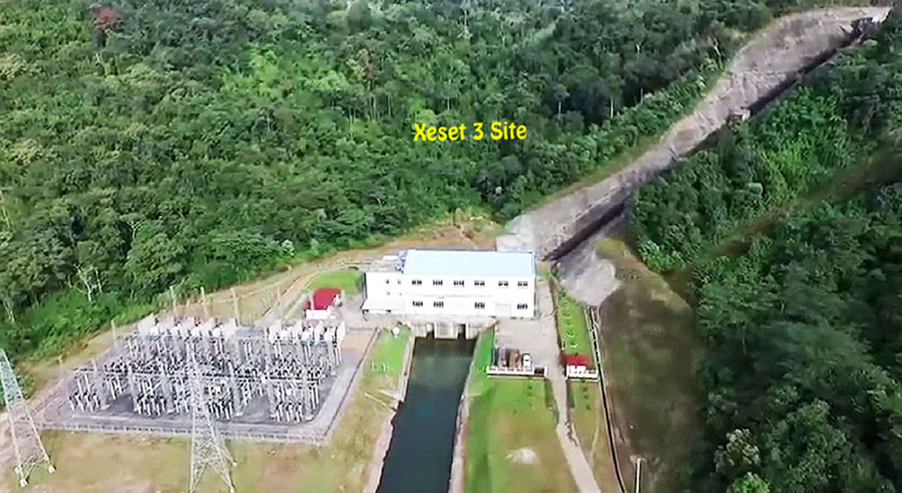
The Xeset 3 project consists of inter-basin water transfer system, dam water retaining system, water diversion, power generation and transmission system.
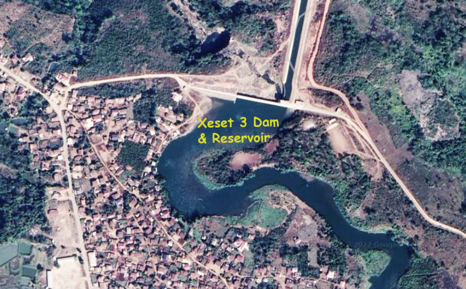
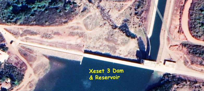
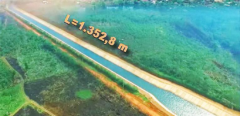
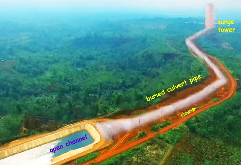
The project has a 14 meter-high and 238 meter-long rockfill dam structure with reinforced concrete facing. The water conveyance system includes a 1,353 meter-long channel, a 1,277 meter-long culvert pipe, a 1,030 meter-long penstock with 3 different diameters and a surface powerhouse.
The project has a gross head of 148 meters and a total installed capacity of 23 MW (1 vertical Francis 18 MW and 1 vertical Francis 5 MW turbine) with ability to produce up to 80 GWh output per year.
The catchment area of Xeset 3 is 188 square km. Full supply level reservoir surface elevation is 1,022 meters above mean sea level while the minimum supply level surface level is 1,019 meters above sea level. The reservoir has a surface area of about 7.2 square km.
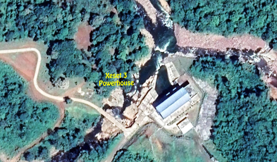
Xeset 3 Powerhouse image below at coordinates 15°22'13.6"N 106°17'48.2"E (15.370444, 106.296722):
All 3 Xeset hydropower projects are located within the Xeset watershed drainage basin.
The Xeset 3 project is built near the 20 meter-high Tat Sang Poi waterfall on the Set River at the village of Ban Set Khot, Pak Song district, Champasak province.
The dam has a 6-gate spillway with gates sized 3 x 15 meters, a sluicing gate 3x7 meters and other “inter” gate 7 x 7.5 meters.
There is a 29.6 meter-high surge tank with 9 meter diameter.
A four km-long canal / tunnel diverts water to a generating station located about 3.5 kilometers downstream from the dam and reservoir.
Xeset 3 Dam & Reservoir images below at coordinates - 15°20'30.4"N 106°18'39.8"E (15.341778, 106.311056) :
Nice EDL video can be seen on YouTube HERE and some screenshot images below.
Xeset 3 open canal image below:
Xeset 3 buried culvert image below:
Xeset 3 penstock image below:
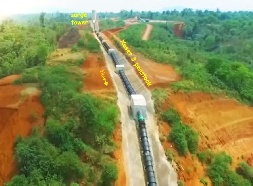
Xeset 3 Surge Tower image below:
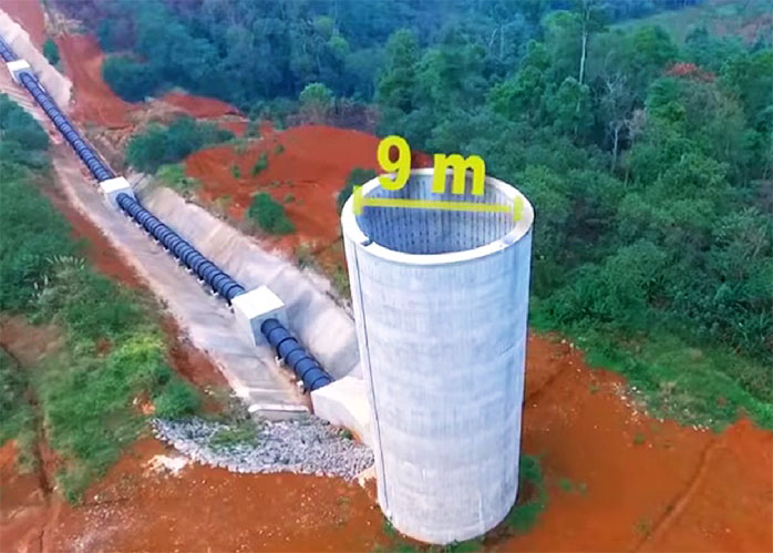
Xeset 3 headrace image below:
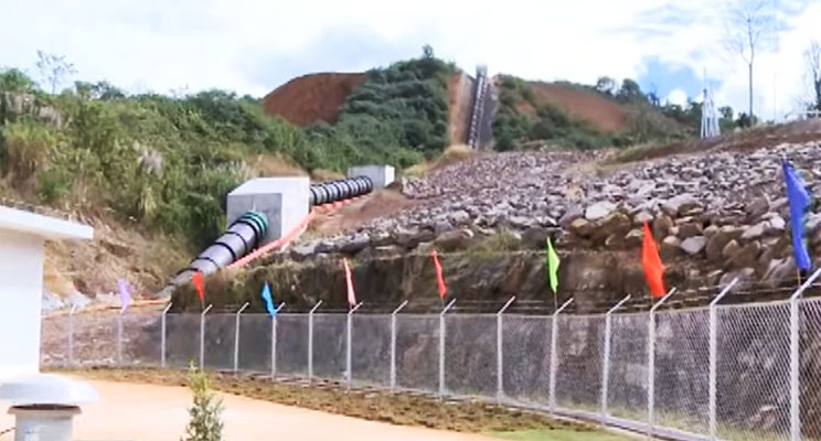
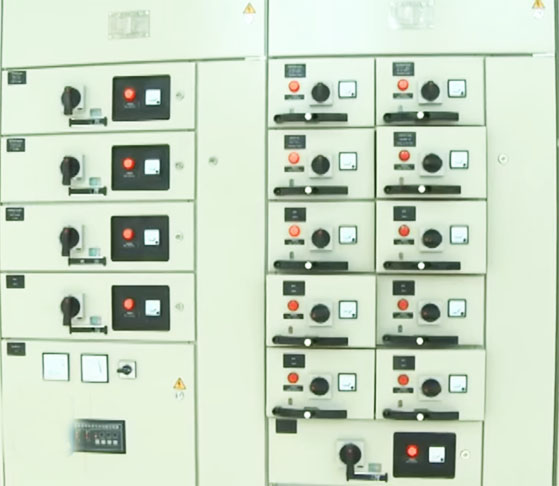
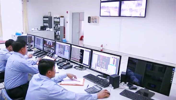
Xeset 3 controls images below:
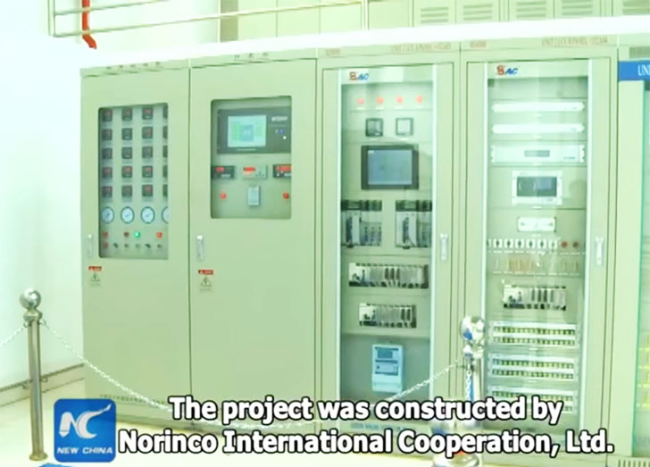
The project uses two 115 kv transmission lines - one 16 km-long to Xeset 2 plant & another 26 km to Paksong substation.
Xeset 3 switchyard image below:
Good videos of Xeset 3 project HERE and HERE .
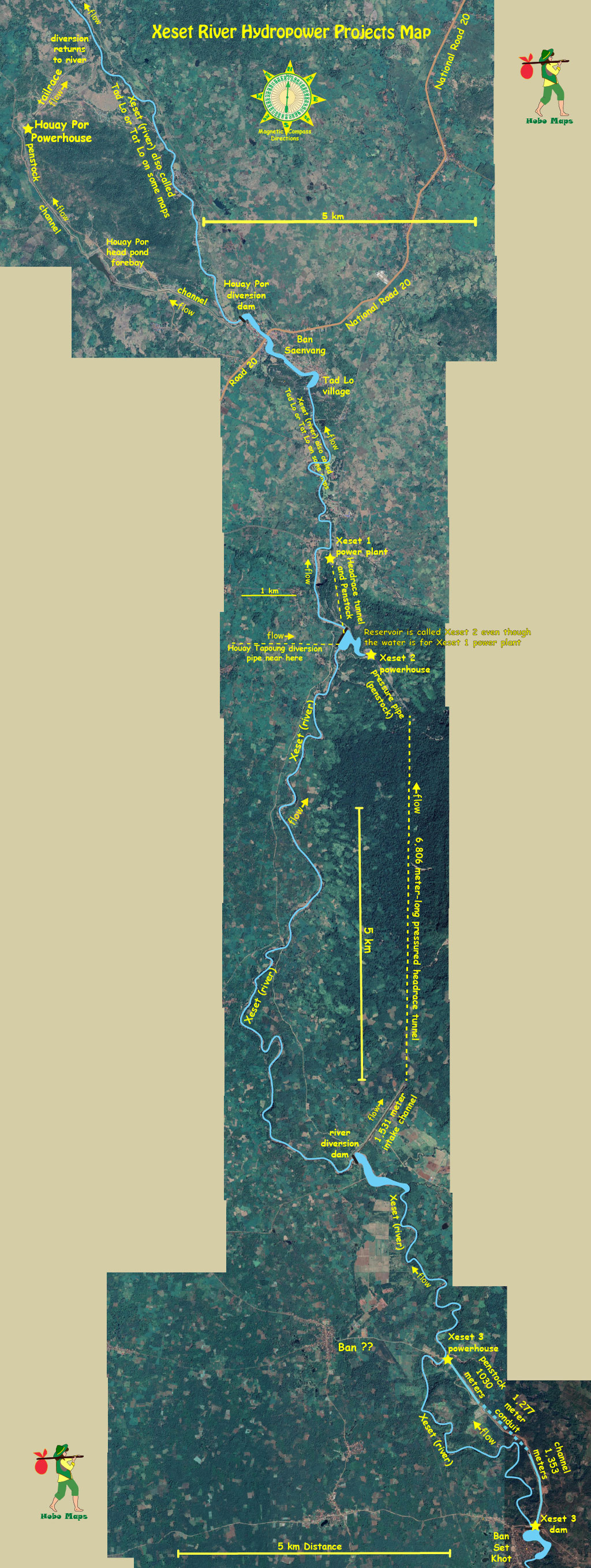
Xeset 1, 2 & 3 hydropower projects include inter-basin and intra-basin diversions and flow alterations of the Set and Tapoung rivers and their tributaires as shown in the images below.
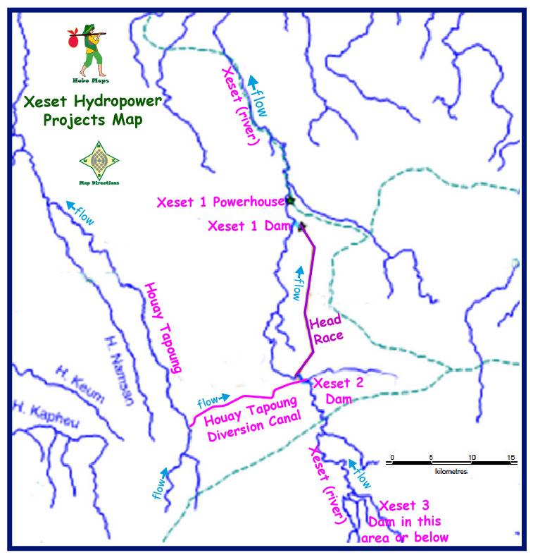
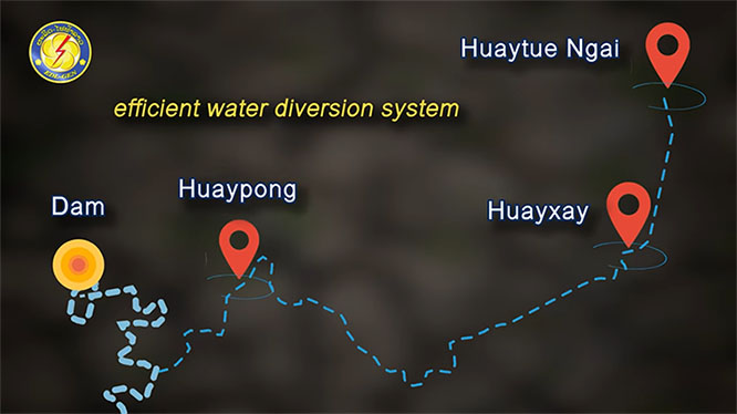
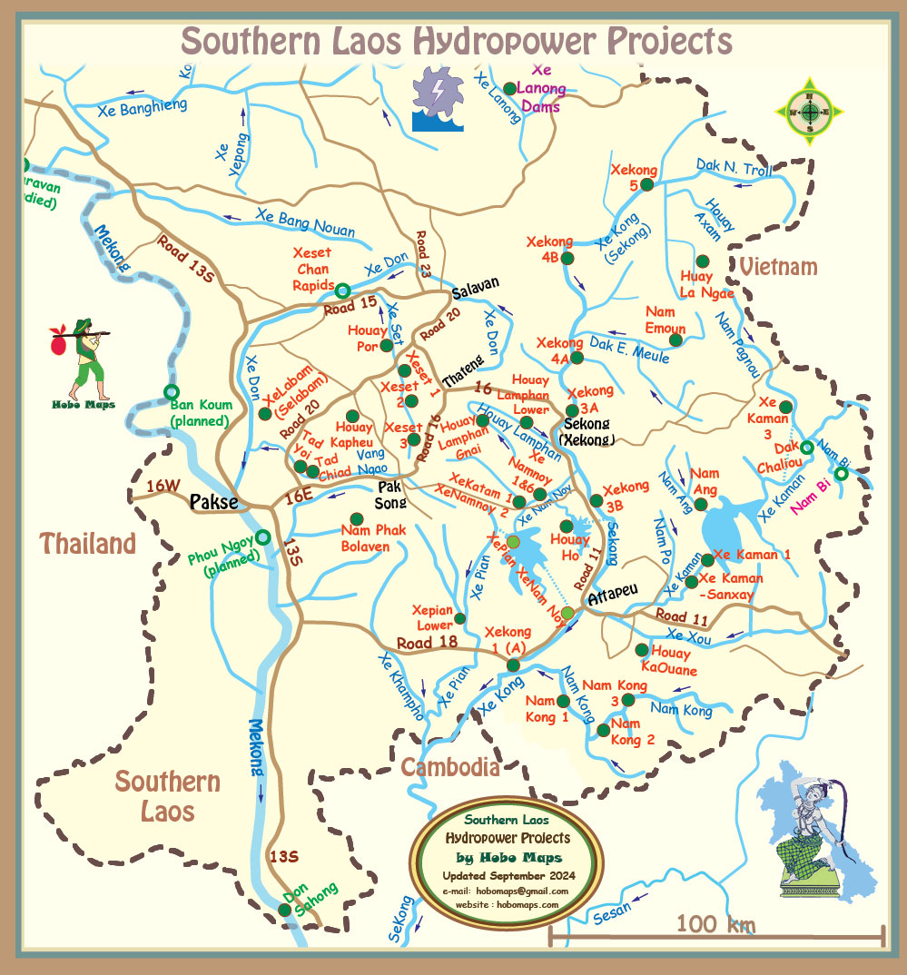
Xeset 1, 2 & 3 project locations all shown in mid section of map below:
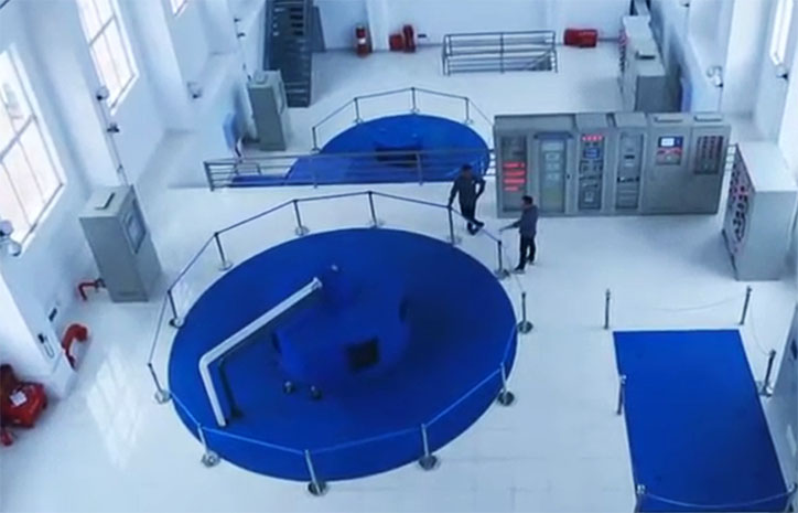
Xeset 3 powerhouse interior images below:
Xeset Hydropower map below shows Xeset 1, 2 & 3 hydropower projects in the lower area plus Houay Por project at the top - all on the XeSet (river):
Click to see larger scale version of this map below - Xeset Dams Map Large Scale
NOTE: The Lao term “Xeset” translates as “Set River”. In Southern Laos "Xe" means “River”. Since “Nam” also can mean “River” we normally wouldn't use a term such as "Nam Xeset".